WaterfallNear Me

New Jersey waterfall visits

Compare 21 New Jersey waterfall visits by the approach, terrain, and where to start. Some routes have closures or unresolved details; read the individual guide before travelling.

21 visit options

Boonton Falls, NJ

Town park trail into a gorge

New Jersey

Boonton Falls

Up to about 0.5 miles one way

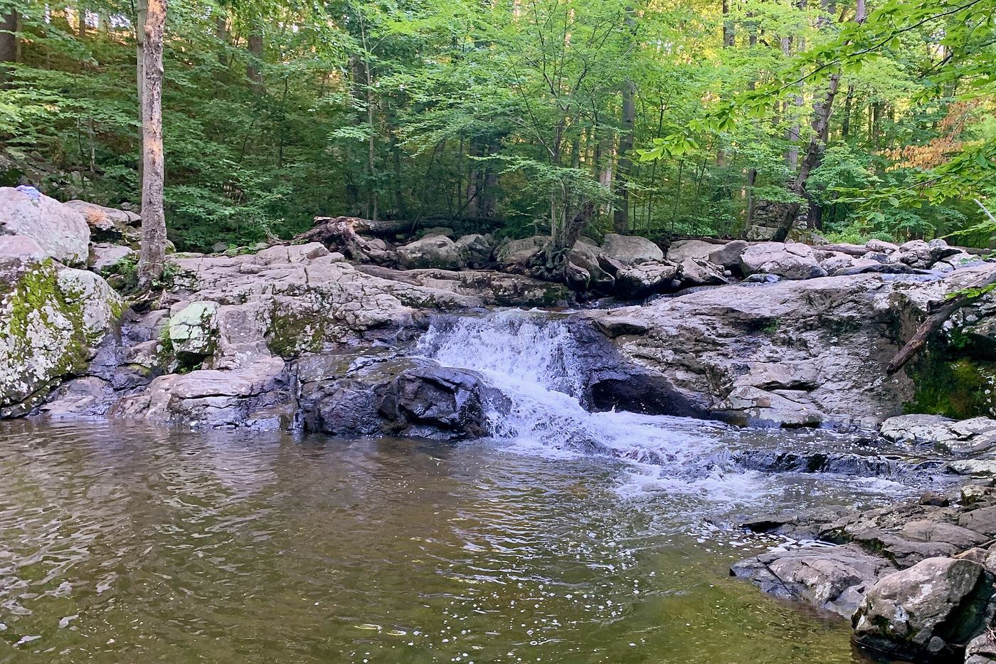
Boonton Falls is a waterfall of about 20 to 25 feet on the Rockaway River in Grace Lord Park, a town park next to downtown Boonton, below a dam. From the trailhead near Essex Avenue and West Main Street, follow the Boonton Falls Trail down into the wooded gorge. The trail passes the falls and reaches an old arch bridge with a view of the falls. Old mill ruins line the gorge. Return the same way.
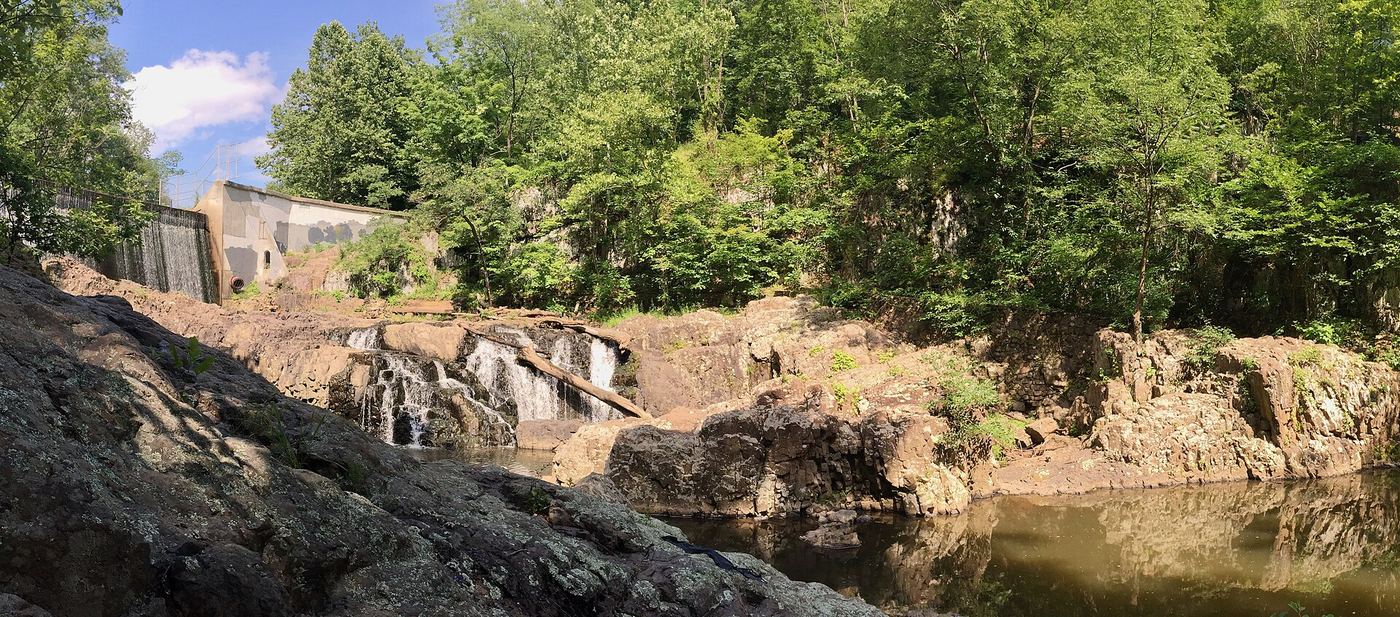
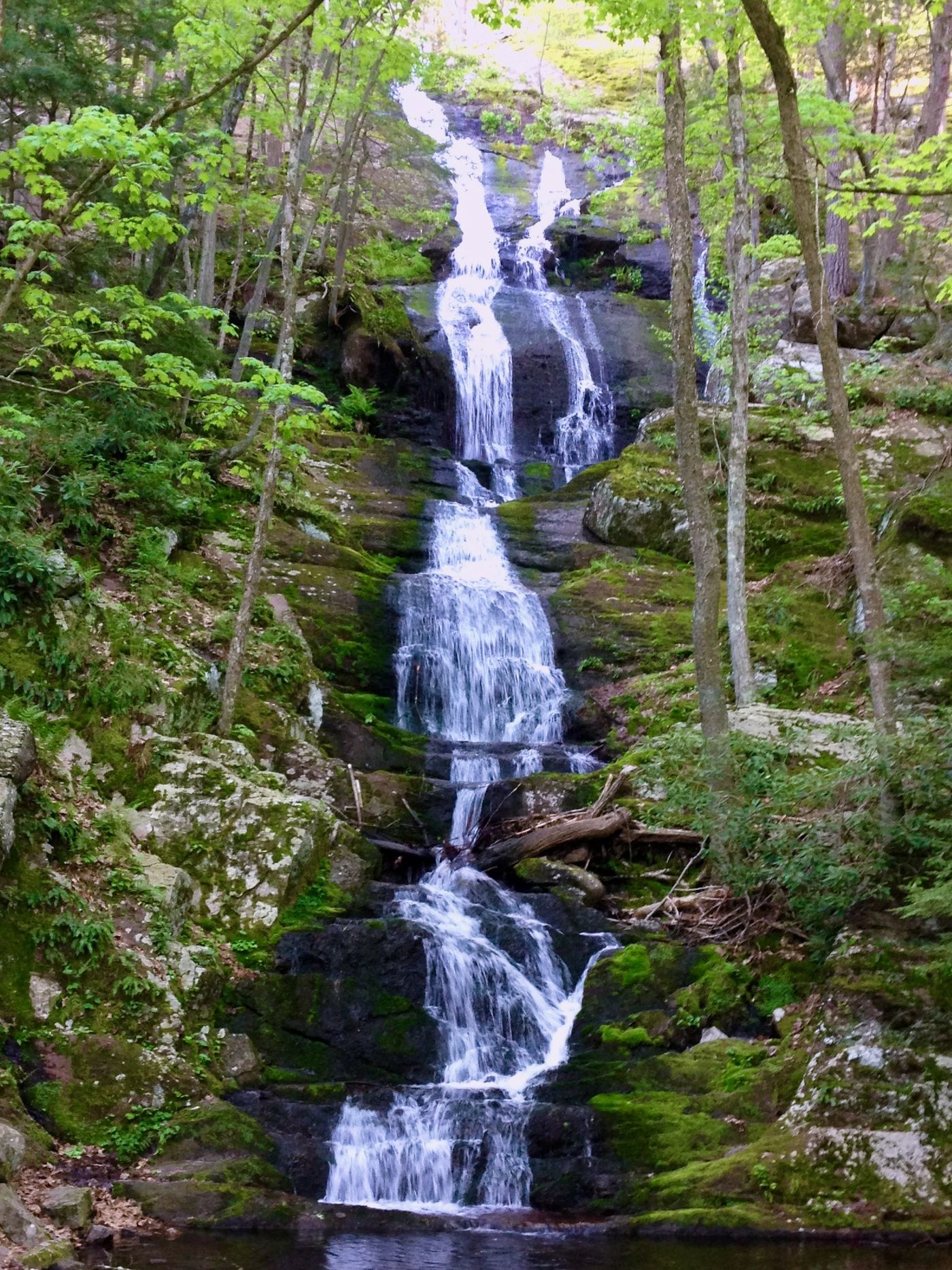
Photo creditPhoto: bill-now, CC BY-SA 3.0, via Wikimedia Commons
Buttermilk Falls, NJ

Parking access under construction; dated detour reported

New Jersey

Buttermilk Falls

Under 1 mile return

A short Yellow Trail approach reaches Bridgewater’s Buttermilk Falls. Recent firsthand evidence reports a temporary construction detour for parking access.

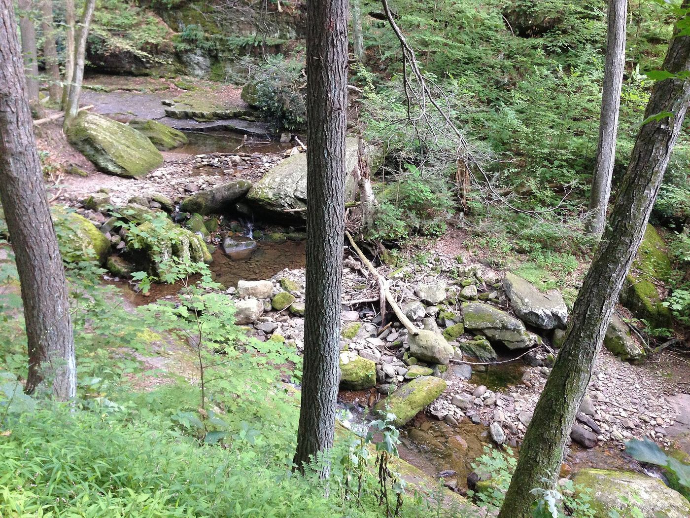
Photo creditPhoto: Zeete, CC BY-SA 4.0, via Wikimedia Commons
Buttermilk Falls, NJ

Verified parking approach via Struble Road; other access roads closed

New Jersey

Buttermilk Falls

Short walk from parking; optional steps to upper viewing platform

Use the Mountain Road waterfall parking area and walk over to the roadside base view. Optionally climb the wooden staircase to the viewing platform above the falls and return down the stairs. The Appalachian Trail climb beyond is excluded.

Photo creditPhoto: Zeete, CC BY-SA 4.0, via Wikimedia Commons
Buttermilk Falls, NJ.

Partial: current access and parking closure unresolved

New Jersey

Buttermilk Falls

Short waterfall approach from Ironia Road; a reliable falls-only distance was not established.

Current access is unresolved. The township identifies India Brook Park as the falls entry, but Explore North Jersey carries a September 11, 2026 reader report that the main parking area is closed indefinitely. Confirm reopening with the township before visiting. When open, the documented route crosses the soccer-field edge to the Yellow Trail, follows it to the India Brook bridge, then follows the far bank downstream to the falls. Do not substitute a stream crossing or another entrance to bypass a closure.

Photo creditPhoto: Zeete, CC BY-SA 4.0, via Wikimedia Commons
Dunnfield Creek Falls, NJ

State forest and national recreation area trail; busy parking

New Jersey

Dunnfield Creek Falls

Less than 1 mile one way

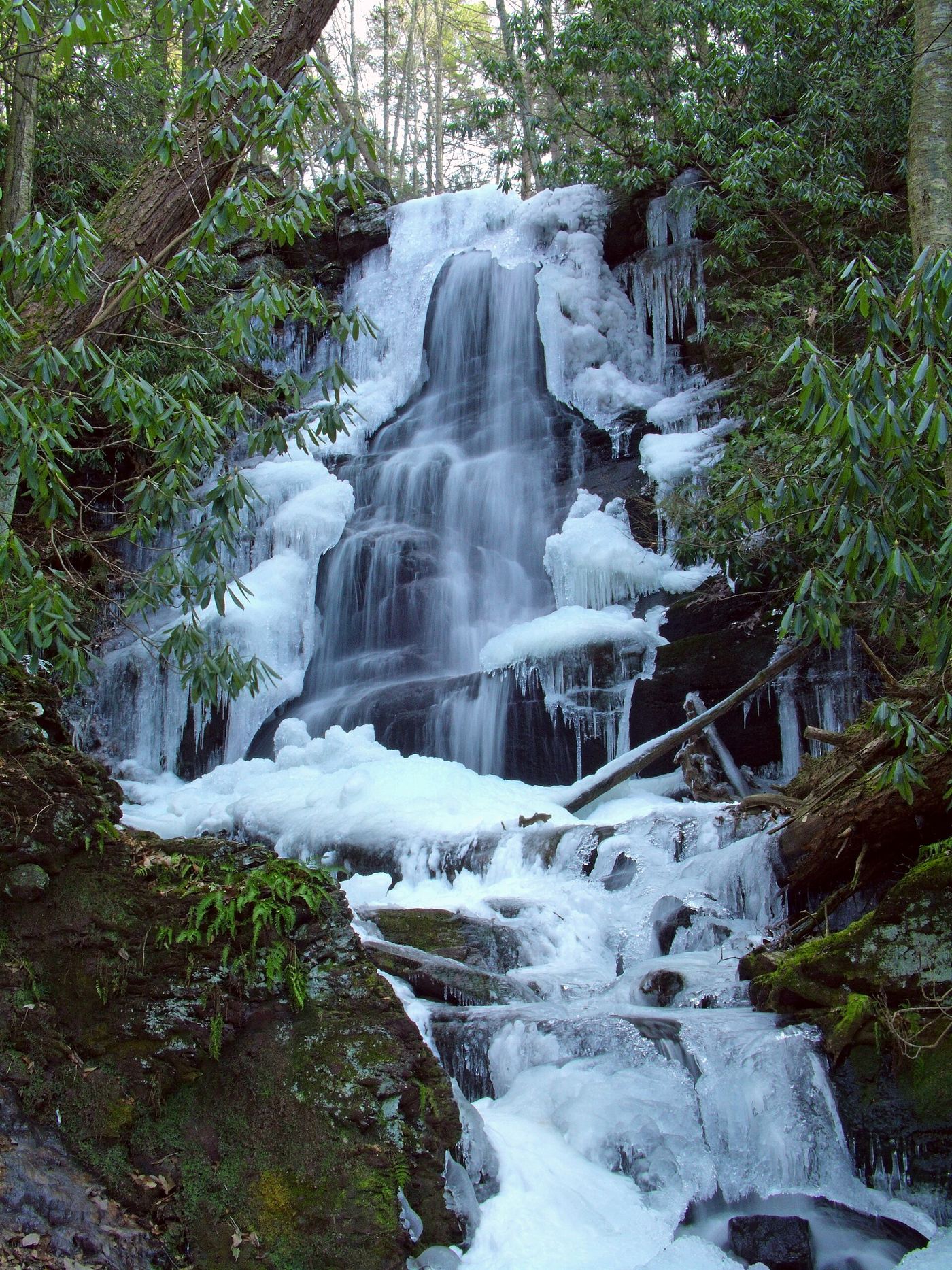
Dunnfield Creek Falls is a small waterfall on Dunnfield Creek in Worthington State Forest, inside Delaware Water Gap National Recreation Area. From the parking area, follow the white-blazed Appalachian Trail upstream through the narrow, rhododendron-lined gorge of Dunnfield Creek. At the fork where the green-blazed Dunnfield Creek Trail bears right, follow it a short distance. An open area with a bench overlooks the falls, and just beyond, at a wooden footbridge, a short unmarked path on the right leads to the base. Return the same way.

Photo creditPhoto: Famartin, CC BY-SA 4.0, via Wikimedia Commons
Great Falls, NJ

National historical park; overlook at the visitor parking lot

New Jersey

Great Falls

Short walk from the parking lot to the overlook; no distance given

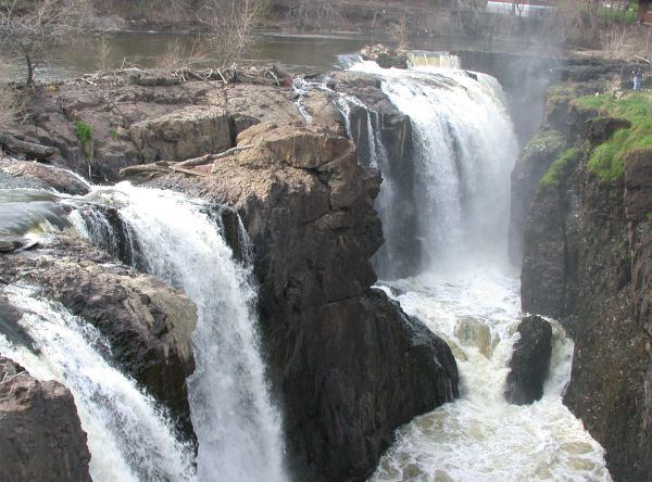
The Great Falls of the Passaic River is the centerpiece of Paterson Great Falls National Historical Park. The National Park Service says you can view the falls at a distance from Overlook Park or feel their spray in Mary Ellen Kramer Park. Overlook Park is at 72 McBride Avenue Extension. Mary Ellen Kramer Park, beside the falls and Hinchliffe Stadium, is reached by Wayne Avenue (Spruce Street Bridge) and a right onto Maple Street, and has an observation deck. Rangers lead walking tours as staffing permits; call the park the day of your visit.

Photo creditPhoto: The original uploader was Decumanus at English Wikipedia., CC BY-SA 3.0, via Wikimedia Commons
Silver Spray Waterfall, NJ

Partial: route documented; the match to this listing is probable but not confirmed

New Jersey

Silver Spray Waterfall

About 0.6 miles (Waterfall Hero hike length)

From the pull-off, walk up Mountain Road about 400 feet to an obvious path into the woods on the left. At about 0.2 miles, cross the tributary that Silver Spray Falls is on. Across the creek, follow the path upstream on the right bank (facing downstream) to the falls. The match between this listing and Silver Spray Falls is probable but not confirmed. Return the same way.

Photo creditPhoto: Nicholas A. Tonelli from Northeast Pennsylvania, USA, CC BY 2.0, via Wikimedia Commons
Tillman Falls, NJ

State forest natural area trail; short steep walk from the lower lot

New Jersey

Tillman Falls

About 250 feet to the Tea Cup junction from the lower lot; about 1.5 miles for the full figure-8 loop

Tillman Brook drops through a narrow red shale and sandstone ravine in the Tillman Ravine Natural Area of Stokes State Forest, with several small cascades. From the lower parking area on Dimon Road, enter the woods to the left of the restrooms on the white-blazed Tillman Ravine Trail. The trail descends into the ravine; after about 250 feet a sign points left to the Tea Cup, a round pothole at the bottom of a cascade. The trail then follows Tillman Brook north on footbridges, past more cascades, and loops back to the lower lot. This listing sits near the lower lot and the Tea Cup. The route description dates from 2021.

Photo creditPhoto: Famartin, CC BY-SA 4.0, via Wikimedia Commons

Marked preserve trails to the falls from a county park lot

New Jersey

Apshawa Falls

About 1.6 miles to the falls; about 3.2 miles for the whole outing

Apshawa Falls is a set of cascades on Apshawa Brook in Apshawa Preserve, a Passaic County park in West Milford. From the lot, go through the deer fence gate on BLUE, turn left on ORANGE at 0.9 miles and left on GREEN at 1.1 miles. GREEN passes an old dam and early 1900s water tank ruins, then crosses Apshawa Brook on placed rocks. Turn left on GREEN; the falls appear on the left at 1.6 miles. A second cascade sits above the main one. Return the way you came.

Location map; no photo available.

Partial: falls location on campus documented; visitor parking and walking distance not stated

New Jersey

Bridal Veil Falls

Short walk; distance not stated

William Paterson University describes a 40- to 45-foot fall, which it calls Buttermilk Falls, dropping off a ledge into an old sandstone quarry near Entry 6 in North Haledon. NJ Conservation calls it Bridal Veil Falls, just inside the campus grounds. A trail passes behind the falls so visitors can stand behind the falling water. Whether visitors who are not on campus business may use the campus lots is not stated.

Location map; no photo available.

Marked state forest loop; side view from the trail

New Jersey

Chikahoki Falls

7.6-mile loop; the falls are 3.7 miles into the loop

Chikahoki Falls is a waterfall on Posts Brook in Norvin Green State Forest. From the Snake Den Road lot, follow PURPLE/BLACK along the road, then PURPLE (High Point Loop) over Wyanokie High Point. At 2.0 miles turn right on WHITE (Lower), then at 3.4 miles continue ahead on RED (Wyanokie Circle Loop). The trail gives a side view of the falls at 3.7 miles. A front view needs a rock hop that is only safe at low water. The loop continues on RED past Otter Hole and returns on GREEN (Den).

Location map; no photo available.

Riverside Shore Trail walk to the base of the falls

New Jersey

Greenbrook Falls

About 8 miles as a loop; an out-and-back on the Shore Trail to the falls is shorter

Greenbrook Falls drops over the Palisades cliff to the Hudson River in Palisades Interstate Park. From the northern end of Englewood Boat Basin, follow the white-blazed Shore Trail north past the Undercliff Bathhouse ruins, Lost Brook Falls and the old Lambier’s Dock site. The falls pour over a rock face to the left of the trail, and the trail crosses just below them on large boulders. Return the same way, or continue on the article’s loop up the Huyler’s Landing Trail and back on the Long Path. The Greenbrook Sanctuary above the cliff is open to members only. The route description dates from 2022.

Location map; no photo available.

County park trail to a 25-foot falls

New Jersey

Hemlock Falls

About 0.6 miles one way

Hemlock Falls is a 25-foot waterfall, the tallest in South Mountain Reservation, an Essex County park in West Orange. From the Tulip Springs lot, start on the yellow-blazed Lenape Trail opposite the trail kiosk. At 0.2 miles the trail turns right and crosses a footbridge over South Orange Avenue. At 0.4 miles turn left at a kiosk with a map and pass small Hobble Falls. At 0.6 miles cross a stone bridge at the base of Hemlock Falls. Return the same way, or climb the stone steps on the red-dot-on-white Hemlock Falls Loop for views from the top and loop back. The route description dates from 2021.

Location map; no photo available.

Preserve trail route and parking documented

New Jersey

High Falls

About 0.9 miles one way (1.8 miles out and back)

From the circular dirt lot, start on the trail to the left with your back to the road and keep straight, passing a branch on the right. Follow the white blazes through a muddy section; the rest of the trail is a normal dry path. The falls are heard as the trail slopes downhill, and they are below the trail at about 0.9 miles. A very short, careful scramble gives a closer view. Return the same way.

Location map; no photo available.

County reservation trail; short walk on the Lenape Trail

New Jersey

Hobble Falls

Less than 0.55 miles each way (0.55 miles to Hemlock Falls, just past Hobble Falls)

Hobble Falls is a small waterfall on the brook below Hemlock Falls in Essex County's South Mountain Reservation. From the Tulip Springs parking area, follow the yellow-blazed Lenape Trail toward Hemlock Falls. The Trail Conference describes the Lenape Trail west of Hemlock Falls as a wide path along the stream that passes Hobble Falls. Hemlock Falls is a short way upstream at a stone footbridge. Return the same way, or continue to Hemlock Falls and the red-dot Hemlock Falls Loop.

Location map; no photo available.

Very short creekside path from a state forest trailhead

New Jersey

Laurel Falls

About 0.2 miles return

Laurel Falls is a 30-foot sliding waterfall in two sections on Sunfish Creek in Worthington State Forest. A 15-foot falls sits just downstream. From the Douglas Trailhead parking area, cross Old Mine Road. The Douglas Trail bears right away from the creek; instead take the obvious path upstream along the creek. It reaches Lower Laurel Falls almost at once, then Laurel Falls a couple hundred feet further. This listing’s position is closest to the lower 15-foot falls; the same short path reaches both.

Location map; no photo available.

National recreation area trail; short walk to the lower falls

New Jersey

Lower Glen Waterfall

About 0.2 miles one way

The lower falls of Van Campens Glen is a drop of about 12 feet on Van Campens Brook in Delaware Water Gap National Recreation Area, Hardwick Township. From I-80 exit 1, take River Road, which becomes Old Mine Road, about 9.6 miles north and turn right into the Lower Van Campens Glen parking area. The yellow-blazed trail starts at the end of the lot by the kiosk and follows the brook upstream, passing the lower falls at about 0.2 miles. Waterfall Hero reported a large fallen tree blocking part of the view. The trail continues to a larger upper falls at about 0.5 miles.

Location map; no photo available.

Partial: county park trail to a waterfall on this stream documented; exact named drop not confirmed

New Jersey

MacMillan Brook Falls

Part of the Trail Conference 3.0-mile MacMillan Reservoir Loop; distance to the waterfall not stated

From the kiosk at the southwest corner of the parking area, follow the Vista Spur Trail down wooden steps and across the Ramapo River on the steel truss bridge. Turn left on the River Loop Trail, then left on the River Spur Trail; in 750 feet it bears right and ends at the yellow Vista Loop Trail. Turn left, cross the stream on a footbridge, and follow the trail as it turns sharply right and climbs stone steps beside the cascading stream, passing a waterfall. The Trail Conference text does not use the name MacMillan Brook Falls, so the exact drop this listing marks is not confirmed. Return the same way or continue the loop around the reservoir.

Location map; no photo available.

Cascades beside a state forest parking lot

New Jersey

Otter Hole

Very short walk from the lot; distance not stated

Otter Hole is a set of cascades in Norvin Green State Forest beside the Otter Hole parking lot. The trail next to the lot crosses the top of the cascades on a jumble of rocks. Do not cross; instead climb down beside the rocks to view the cascades below. The same crossing leads on to the RED Wyanokie Circle Loop toward Chikahoki Falls.

Location map; no photo available.

Partial guide: the path reaches the dam, but where to view the falls below it is unclear

New Jersey

Seele

Short walk; distance unknown

This listing is the falls at the Seeley's Pond dam on Blue Brook, on Diamond Hill Road at the Berkeley Heights and Scotch Plains line, in Union County's Watchung Reservation. A paper mill once used the falls for power. Gone Hikin' starts at the Seeley's Pond Picnic Area parking. Its route walks out the picnic area drive, turns right on Sky Top Drive, crosses the bridge and takes the trail on the right from a roadside parking area. An unmarked but maintained footpath follows Blue Brook, gives views of Seeley's Pond and leads to the dam at the far end of the pond. It is unclear where to stand to see the falls below the dam. The route description dates from 2013.

Location map; no photo available.

National recreation area trail from the Upper Glen lot

New Jersey

Upper Glen Waterfall

Short; exact distance from the Upper Glen lot not stated

The Upper Glen waterfall is on Van Campens Brook in Delaware Water Gap National Recreation Area. From the Upper Glen parking area, cross Old Mine Road onto an old dirt road and cross the bridge over Van Campens Brook. Where the road meets the yellow Van Campen Glen Trail, turn right and descend into the Upper Glen. Below a calm pool, the brook drops through a narrow rock chasm and over the Upper Glen falls. The trail continues down through the Lower Glen to the lower parking area. The route description dates from 2018.

Location map; no photo available.

Choose another state All mapped waterfalls in New Jersey