High Falls
Hunterdon County, New Jersey
Your visit at a glance
- Waterfall height
- Not recorded
- Location
- Hunterdon County, New Jersey
- Access status
- Preserve trail route and parking documented
- The walk
- About 0.9 miles one way (1.8 miles out and back)
- Ground & access
- Roots and some rocks; the start can be deep, thick mud. Mostly level until a brief downhill just before the falls. Short scramble for a closer view.
From the circular dirt lot, start on the trail to the left with your back to the road and keep straight, passing a branch on the right. Follow the white blazes through a muddy section; the rest of the trail is a normal dry path. The falls are heard as the trail slopes downhill, and they are below the trail at about 0.9 miles. A very short, careful scramble gives a closer view. Return the same way.
Plan your visit
Lockatong Preserve parking off Kingwood-Stockton Road (Route 519), white-blazed trail out and back to Lockatong High Falls
NJHiking.com marks the falls at 0.9 miles and lists the hike as 1.8 miles out and back from the preserve parking lot.
Roots and some rocks; the start can be deep, thick mud. Mostly level until a brief downhill just before the falls. Short scramble for a closer view.
Where to start
Lockatong Preserve, 235 Kingwood Stockton Rd, Stockton, NJ, on Route 519 in Kingwood Township about 1/4 mile from the Kingwood Township Methodist Church. Turn at the Lockatong WMA sign and follow the long dirt driveway to a circular dirt lot. Published parking coordinates N40.44770 W75.00801. No restrooms.
Timing & water
Best after rain. The start of the trail can be very muddy. The route description dates from 2019.
Before you go
No fee or reservation is stated by the source.
Visitor informationMore waterfalls nearby
Within 40 straight-line miles. Road and trail distances will differ.
- High FallsCounty park trail from the parking areaBucks County, PA10 miNW
- Gold RunMercer County, NJ17 miSE
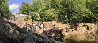 Buttermilk FallsParking access under construction; dated detour reportedSomerset County, NJ26 miNE
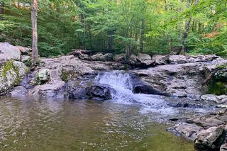 Buttermilk FallsPartial: current access and parking closure unresolvedMorris County, NJ33 miNE
- Lower FallsNorthampton County, PA35 miN
- Upper FallsPartial guide: unmarked path; access road partly closedNorthampton County, PA35 miN
- Princess Run WaterfallMonroe County, PA36 miNW
- SeelePartial guide: the path reaches the dam, but where to view the falls below it is unclearUnion County, NJ36 miNE
- Old Mill FallsMonroe County, PA38 miNW