Compare 23 Alaska waterfall visits by the approach, terrain, and where to start. Some routes have closures or unresolved details; read the individual guide before travelling.
23 visit options
Falls trail verified; full arrival approach not verified
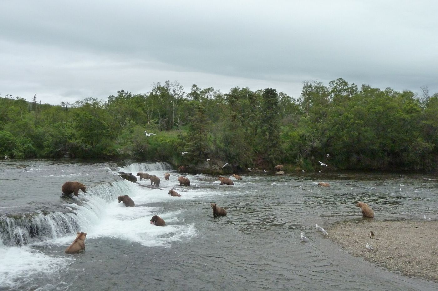
Arrivals at Brooks Camp must attend the bear-safety talk. The Falls Trail leads through forest to raised platforms; rangers manage the falls platform capacity.
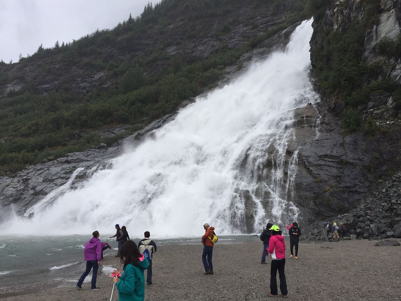
From the mapped visitor-area parking on Glacier Spur Road, follow the paved path toward the visitor center and Photo Point. Take the signed trail to the right just beyond the visitor center, through the rock gorge on an elevated pathway, then follow the lake-edge trail to Nugget Falls. Return on the same route.
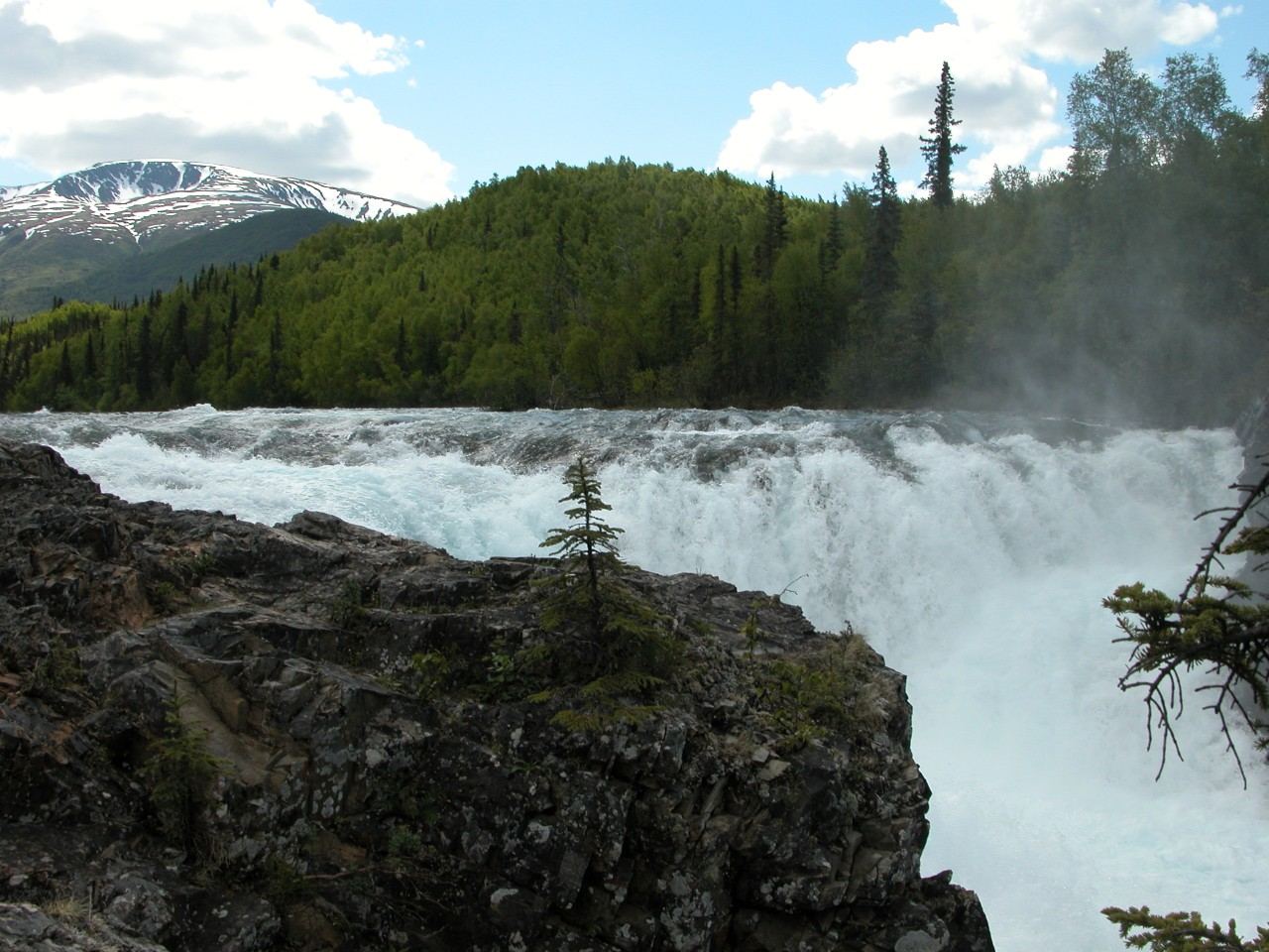
After arriving in Port Alsworth, obtain the Tanalian trail map at the NPS visitor center. Use the mapped town approach to the Falls and Lake Trailhead near the southern airstrip, then follow Falls and Lake Trail to Tanalian Falls. Return by the same route; the Beaver Pond trail is an optional alternative, not included in this distance.
East Glacier loop is 3.5 miles; AJ spur adds an unmeasured short detour
Start at Mendenhall Glacier Visitor Center and follow the East Glacier Trail to the AJ Falls spur. Conservation Volunteers International documented walking from this parking area with a USFS crew and improving the named spur in June 2024. Follow the established spur to the waterfall and return to the loop.
Under 2 miles round trip in a 2018 firsthand account
Bear Mountain Waterfall is reached from the Herring Cove trail system. Local naturalist Matt Goff describes leaving the main route on an unofficial side trail to its base; this is distinct from the small cascade near the first bridge.
From the end of Basin Road, follow Perseverance Trail to its Ebner Falls overlook. Remain on the established trail above Gold Creek; the steep descent to the waterfall base is not part of this route.
Follow the brown hiker signs along Jonesville Mine Road to the rough upper parking area described by Lisa Maloney. Her 2019 route walks roughly 1,000 feet farther along the rough road to a signed left-hand cul-de-sac and footpath. Follow the hiking trail, turn right at the T junction she places about 2.75 miles from the trailhead, then continue ahead at the next junction into the valley toward the falls. Use the current borough map for navigation.
Golden Gate Falls is a remote rapid on the Kisaralik River, also called the lower falls by local outfitter Papa Bear Adventures. BLM documents fly-in river trips beginning at Kisaralik Lake. No roadside visit or walking trail is established by the reviewed sources.
Historically about 7.5 miles round trip; current detours not established.
Lisa Maloney’s 2022 firsthand guide describes a right-hand spur about 3.9 miles along Resurrection Pass Trail, just before the Juneau Creek bridge. Current DOT pages describe unfinished highway works and a future trailhead. Confirm the current pedestrian route before relying on these older directions.
World Waterfall Database locates Kvasnikoff Falls in southwestern Kenai Fjords National Park and describes an undeveloped setting. It reports that a complete view requires aircraft. Its suggestion of partial visibility from North Arm watercraft is tentative and is not treated here as confirmed access.
From the Gold Rush Cemetery parking area, walk into the cemetery and follow the short forest trail behind it to Lower Reid Falls. Return on the same route.
View Pitchfork Falls from the highway pull-out identified by Alaska.org at mile 7.6 of the Klondike Highway. This is a distant view of the waterfall below Goat Lake, not a walking route to its base.
Alaska.org documents waterfall views from inside Serenity Falls Hut, which requires a reservation. Do not assume day hikers may enter the hut. A public exterior viewing location has not been confirmed. The state gives the approach via Eklutna Lakeside Trail: past Kanchee Campground, stay before the large Eklutna River bridge and follow the signed uphill trail a few hundred yards to the hut.
Visit Anchorage documents the South Fork Falls walk from the small parking area at the bottom of Ken Logan Circle. Its route crosses the South Fork Eagle River bridge and turns left toward the falls. Stay on designated paths through this area of private property.
Friends of Kachemak Bay documents marine access at Tutka Lake Trailhead. The trail climbs past the Sea Star Cove Cabin junction, follows Tutka Lake, passes the hatchery junction and continues high above Tutka Creek to waterfalls near its end. Ashore Water Taxi describes overlooks above steep drops. Mainland parking and a current boat landing arrangement remain unverified.
No parking-to-waterfall walking distance established.
Alaska DNR identifies Upper Falls as two drops on the Kisaralik River. A local outfitter describes reaching this stretch on a fly-in float trip beginning at Kisaralik Lake. Its account describes a river-right portage trail around the second drop. This is not a complete navigational itinerary: the historical DNR account describes a different portage bank, and American Whitewater documents a fatal accident at these falls in 2024. Obtain current river-specific guidance from an experienced local outfitter; this guide does not recommend running the drops.
6.9 miles round trip from the trailhead in the city tourism map
Follow the Dewey Lakes trail system north from Lower Dewey Lake toward Icy Lake. The city tourism maps describe the west shore of Icy Lake and a left turn at its north end. NPS instead describes an uphill northwest turn at the south end. These descriptions conflict; confirm the final signed route with local staff before setting out.