Nugget Falls
Juneau City and Borough, Alaska
Your visit at a glance
- Waterfall height
- 377 ft (115 m)
- Location
- Juneau City and Borough, Alaska
- Access status
- Official parking map and full trail approach verified
- The walk
- 2 miles return
- Ground & access
- Low-gradient trail; the official brochure describes moderate gravel walking. Stay on the trail and follow any flood or wildlife closures.
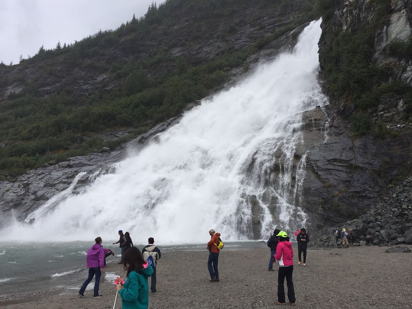
From the mapped visitor-area parking on Glacier Spur Road, follow the paved path toward the visitor center and Photo Point. Take the signed trail to the right just beyond the visitor center, through the rock gorge on an elevated pathway, then follow the lake-edge trail to Nugget Falls. Return on the same route.
Plan your visit
Mendenhall visitor area via Photo Point and Nugget Falls Trail
The USFS visitor brochure gives 2 miles return for the outing. The separate trail page gives 0.8 mile for the named trail segment branching from Photo Point, not the entire return outing.
Low-gradient trail; the official brochure describes moderate gravel walking. Stay on the trail and follow any flood or wildlife closures.
Where to start
Use the visitor-area parking shown on the USFS brochure along Glacier Spur Road. The official directions approach from Egan Drive via Mendenhall Loop Road, continuing straight onto Glacier Spur Road.
Timing & water
The trail page lists hiking and winter recreation but no reliable month-by-month access guarantee. Current flood and ice conditions must be checked with Tongass National Forest.
Before you go
The reviewed trail page and brochure do not establish current pass charges or reservation requirements. Check the visitor center before travel.
Visitor informationMore waterfalls nearby
Within 40 straight-line miles. Road and trail distances will differ.