Waterfalls near Rutland, VT
20 named waterfalls within 30 miles of Rutland, closest first. Distances are straight-line from the town center.
Visits with route details
Read the walking route, starting point and current access notes.
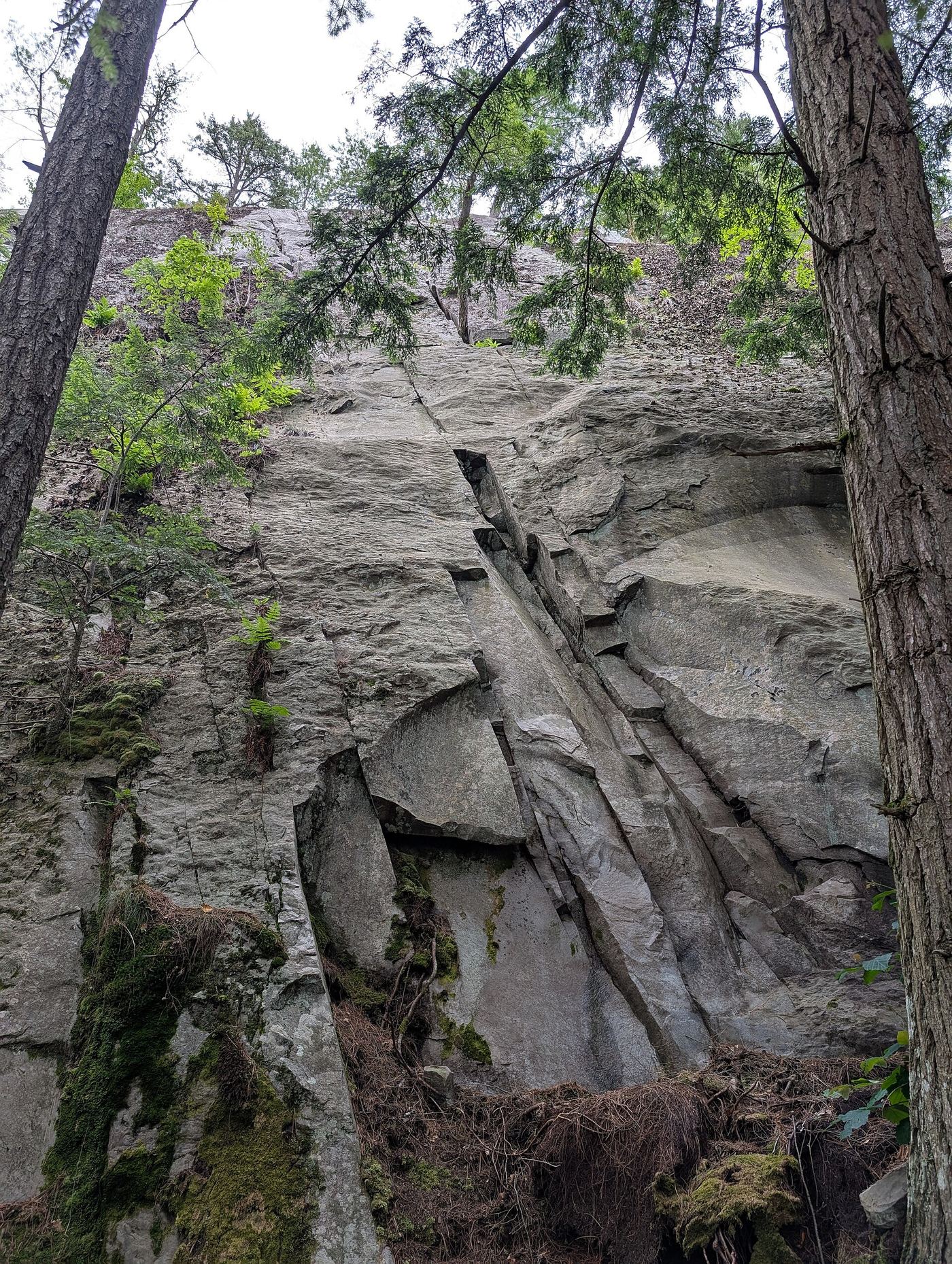
- Mead's FallsPartial guide: short rough path from a street pull-off; land ownership not confirmedRutland County, VT
- Otter Creek FallsPartial: roadside viewpoint on private hydro property where the public is welcome to view, per a guidebook siteRutland County, VT
- Thundering Brook FallsNational forest accessible trail route and parking documentedRutland County, VT
- Buttermilk Upper FallsShort public trail; position of the upper falls on the trail not describedWindsor County, VT
- Buttermilk Lower FallsPartial guide: public trail; parking spot and exact lower-falls position not describedWindsor County, VT
 Falls of LanaResearched visit notesAddison County, VT
- Texas FallsResearched visit notesAddison County, VT
- Uncas FallsPartial guide: preserve trail to falls on YMCA land; exact parking spot not described7 ft (2 m) · Warren County, NY
- Falls of CarrilonResearched visit notesEssex County, NY
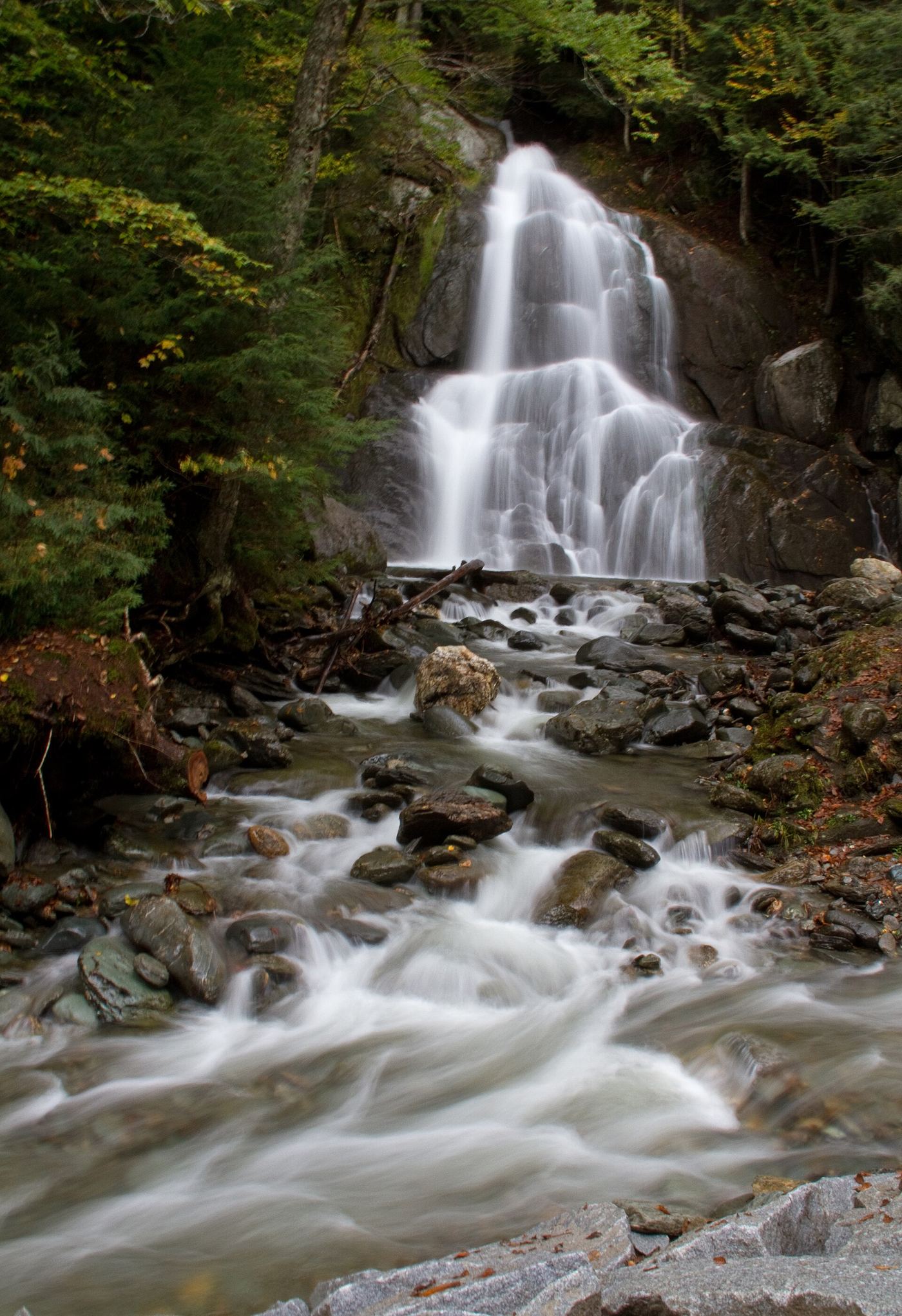
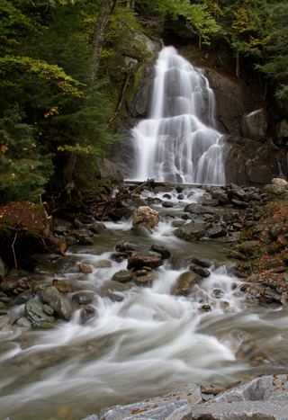 Moss Glen FallsPartial: state land viewpoint documented; footbridge on the trail reported closed, current status unconfirmedAddison County, VT
- Gerry's FallsState park trail route documented; distance to the falls not statedWindsor County, VT
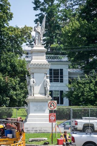 Middlebury FallsPartial guide: town footbridge view; parking not described18 ft (5.5 m) · Addison County, VT
- Sumner FallsPartial guide: town park beside the falls; path to a viewpoint not describedWindsor County, VT
Closest with a photo
All 20 waterfalls
- Mead's FallsPartial guide: short rough path from a street pull-off; land ownership not confirmedRutland County, VT2.0 miW
- Otter Creek FallsPartial: roadside viewpoint on private hydro property where the public is welcome to view, per a guidebook siteRutland County, VT4.7 miNW
- Irene FallsRutland County, VT6.6 miE
- Thundering Brook FallsNational forest accessible trail route and parking documentedRutland County, VT10 miNE
- Buttermilk Upper FallsShort public trail; position of the upper falls on the trail not describedWindsor County, VT17 miSE
- Buttermilk Middle FallsWindsor County, VT17 miSE
- Buttermilk Lower FallsPartial guide: public trail; parking spot and exact lower-falls position not describedWindsor County, VT17 miSE
- McGinn Falls66 ft (20 m) · Rutland County, VT20 miS
- Falls of LanaResearched visit notesAddison County, VT21 miN
- Natural Bridge FallsBennington County, VT22 miS
- Texas FallsResearched visit notesAddison County, VT23 miN
- Hidden FallsWindsor County, VT28 miSE
- Uncas FallsPartial guide: preserve trail to falls on YMCA land; exact parking spot not described7 ft (2 m) · Warren County, NY28 miW
- Falls of CarrilonResearched visit notesEssex County, NY28 miNW
- Moss Glen FallsPartial: state land viewpoint documented; footbridge on the trail reported closed, current status unconfirmedAddison County, VT29 miN
- Gerry's FallsState park trail route documented; distance to the falls not statedWindsor County, VT29 miE
- Middlebury FallsPartial guide: town footbridge view; parking not described18 ft (5.5 m) · Addison County, VT30 miN
- Abbey Pond Cascades (upper)Addison County, VT30 miN
- Abbey Pond Cascades (lower)Addison County, VT30 miN
- Sumner FallsPartial guide: town park beside the falls; path to a viewpoint not describedWindsor County, VT30 miE