Waterfalls near Rancho Santa Margarita, CA
15 named waterfalls within 30 miles of Rancho Santa Margarita, closest first. Distances are straight-line from the town center.
Visits with route details
Read the walking route, starting point and current access notes.
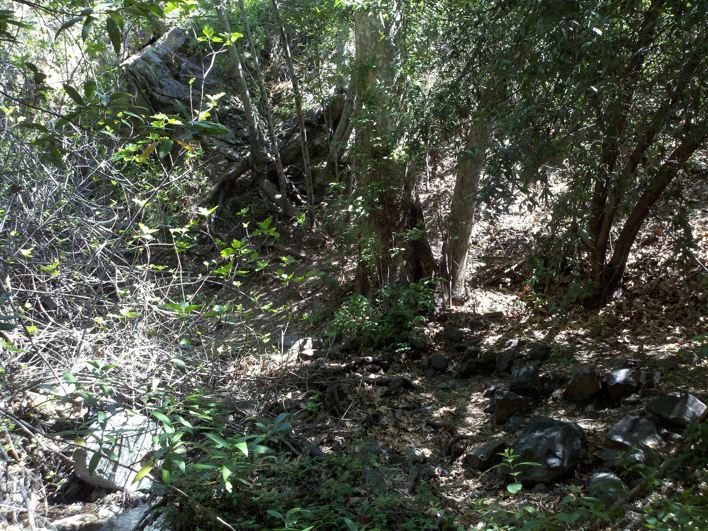
- Harding Canyon FallsPartial guide: older firsthand use-trail route; current conditions and land status unverified35 ft (10.7 m) · Orange County, CA
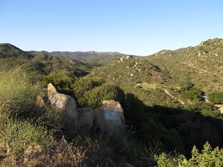 Ortega FallsShort published path from a highway turnout35 ft (10.6 m) · Riverside County, CA
- Black Star Canyon FallsPartial: 2017 firsthand account; current OC Parks access rules not confirmed50 ft (15.2 m) · Orange County, CA
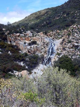 Tenaja FallsOfficial trail documented; check road alertsRiverside County, CA
 Dana Point Seasonal WaterfallRoadside seasonal waterfall; flows only after rainOrange County, CA
- Historic DamCounty park trail5 ft (1.5 m) · Orange County, CA
Closest with a photo
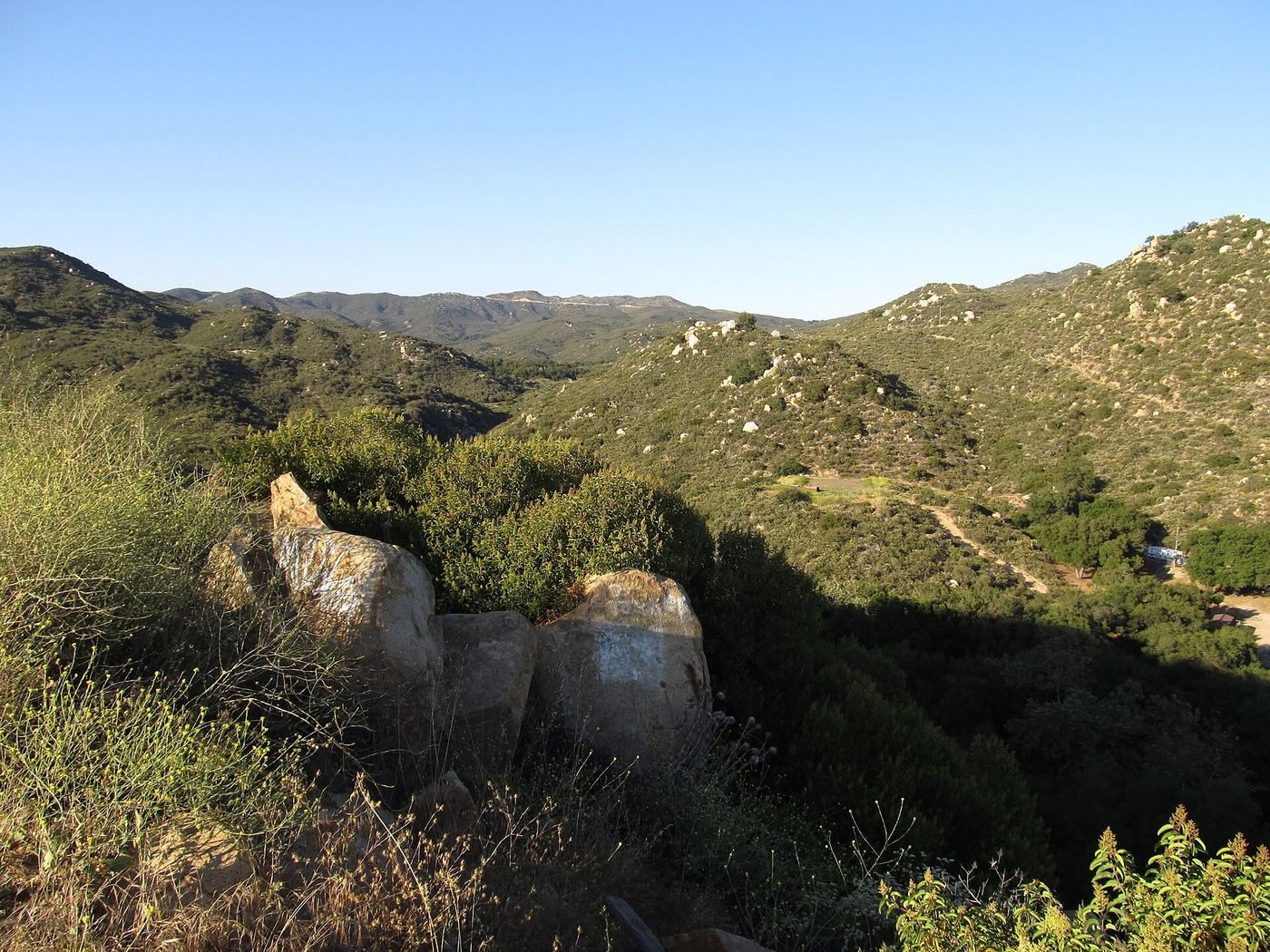
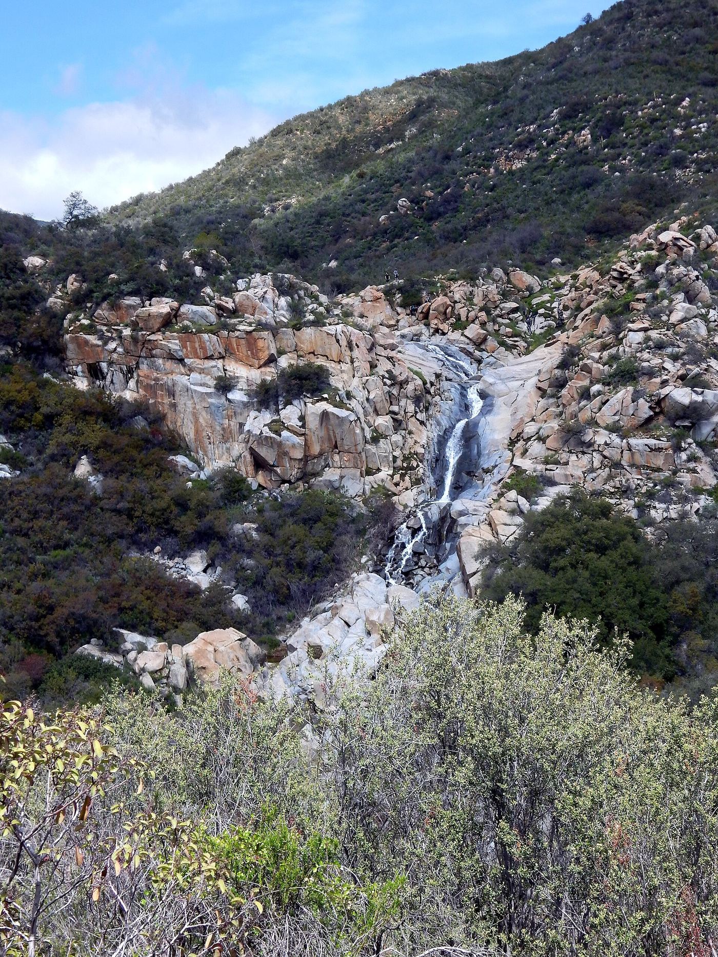
All 15 waterfalls
- Canyon FallsOrange County, CA4.7 miNE
- Harding Canyon FallsPartial guide: older firsthand use-trail route; current conditions and land status unverified35 ft (10.7 m) · Orange County, CA5.9 miN
 Holly Jim FallsOrange County, CA6.2 miNE
- Lion Canyon FallsOrange County, CA8.6 miE
- Metrolink BridgeOrange County, CA9.2 miSW
- Ortega FallsShort published path from a highway turnout35 ft (10.6 m) · Riverside County, CA10 miE
- Black Star Canyon FallsPartial: 2017 firsthand account; current OC Parks access rules not confirmed50 ft (15.2 m) · Orange County, CA11 miN
- Tenaja FallsOfficial trail documented; check road alertsRiverside County, CA13 miSE
- Dana Point Seasonal WaterfallRoadside seasonal waterfall; flows only after rainOrange County, CA13 miSW
- Historic DamCounty park trail5 ft (1.5 m) · Orange County, CA16 miNW
- Bear Claw FallOrange County, CA22 miNW
- Washout FallsOrange County, CA22 miNW
- Frog Jump FallsOrange County, CA22 miNW
- Schweitzer FallsOrange County, CA22 miNW
- Gavilan Mountain WaterfallRiverside County, CA27 miSE