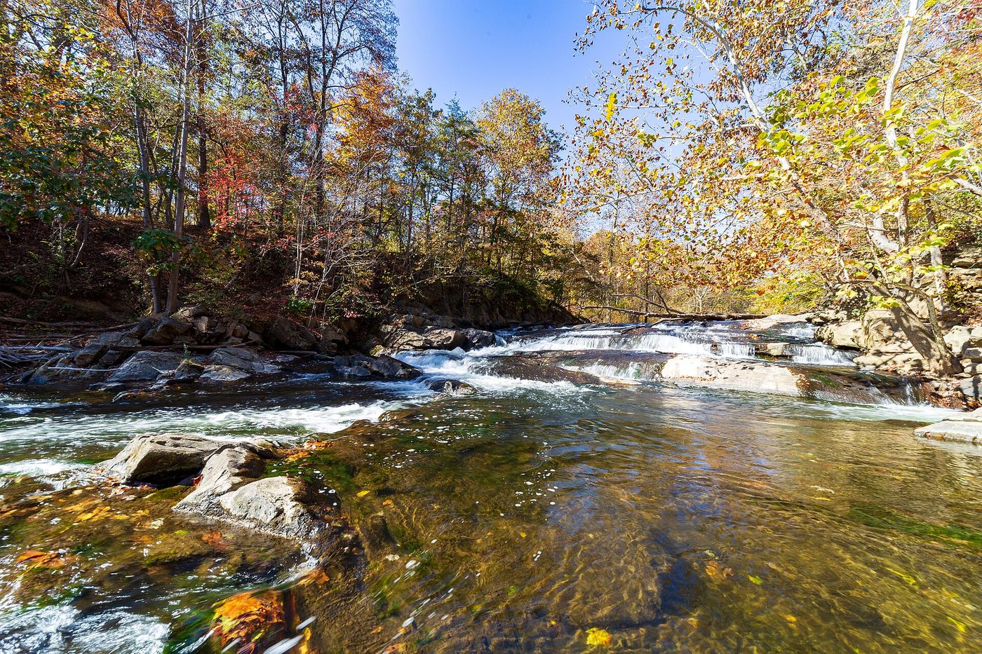
Waterfalls near Mount Airy, MD
7 named waterfalls within 30 miles of Mount Airy, closest first. Distances are straight-line from the town center.
Visits with route details
Read the walking route, starting point and current access notes.
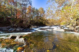 McKeldin FallsOfficial park area and fees; visitor route documentedCarroll County, MD
- Cascade FallsOfficial park area and fees confirmed; trail route from park lot not detailedHoward County, MD
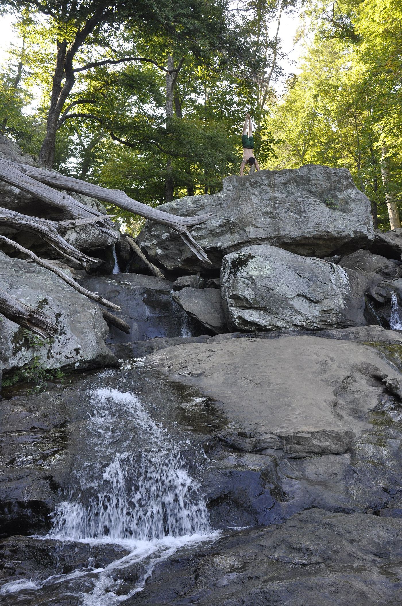
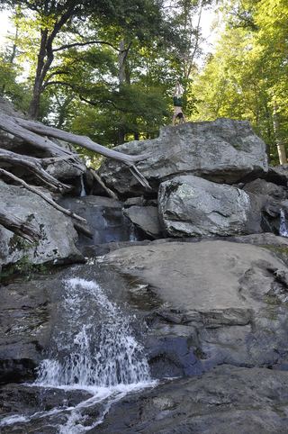 Cunningham FallsOfficial state park trail to the falls78 ft (23.8 m) · Frederick County, MD
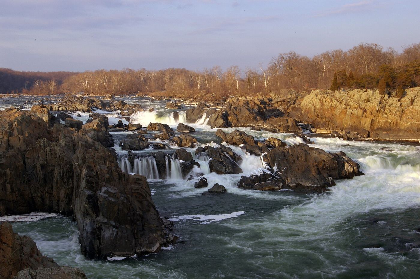
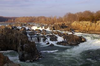 Great FallsResearched visit notes46 ft (14 m) · Montgomery County, MD
- Stubblefield FallsOfficial trail and parking confirmed; rapids seen from the trailMontgomery County, MD
- Round FallsPartial guide: trail location documented; parking and exact access point not confirmedBaltimore city, MD
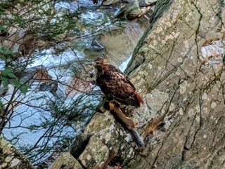 Scott's Run FallsCounty park trail route and parking documentedFairfax County, VA
Closest with a photo
All 7 waterfalls
- McKeldin FallsOfficial park area and fees; visitor route documentedCarroll County, MD14 miE
- Cascade FallsOfficial park area and fees confirmed; trail route from park lot not detailedHoward County, MD24 miSE
- Cunningham FallsOfficial state park trail to the falls78 ft (23.8 m) · Frederick County, MD24 miNW
- Great FallsResearched visit notes46 ft (14 m) · Montgomery County, MD27 miS
- Stubblefield FallsOfficial trail and parking confirmed; rapids seen from the trailMontgomery County, MD28 miS
- Round FallsPartial guide: trail location documented; parking and exact access point not confirmedBaltimore city, MD28 miE
- Scott's Run FallsCounty park trail route and parking documentedFairfax County, VA28 miS