Waterfalls near Greenfield, MA
18 named waterfalls within 30 miles of Greenfield, closest first. Distances are straight-line from the town center.
Visits with route details
Read the walking route, starting point and current access notes.
- Hobo FallsShort walk; final section on private land, stay on the trailFranklin County, MA
- Bear's Den FallsOfficial land trust route, hours and parkingFranklin County, MA
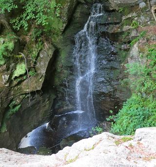 Royalston FallsOfficial trailhead and fees documented; visitor account gives distanceWorcester County, MA
- Doane's FallsOfficial trail, parking and rules documentedWorcester County, MA
- Tannery FallsPublished short trail from the state forest lot; seasonal roadBerkshire County, MA
- Spirit FallsOfficial property and parking confirmed; trail distance not publishedWorcester County, MA
- Twin CascadePartial guide: private land, parking and current trail condition not confirmedBerkshire County, MA
- Glendale FallsOfficial land trust route, hours and parkingHampshire County, MA
- Peck's FallsShort published trail from Gould Road; informal parkingBerkshire County, MA
- Cascade on South BrookVery short path from parking area in a wildlife management area7 ft (2 m) · Berkshire County, MA
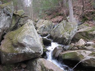 Goldmine Brook FallsShort unsigned path from Route 20; pull-off rules unconfirmedHampden County, MA
- Money Brook FallsOfficial trail mileage and named trailhead documented; seasonal auto roadBerkshire County, MA
- March Cataract FallsMarked trail route documented; parking per visitor accountsBerkshire County, MA
All 18 waterfalls
- Hobo FallsShort walk; final section on private land, stay on the trailFranklin County, MA9.8 miNE
- Pulpit FallsCheshire County, NH14 miNE
- Bear's Den FallsOfficial land trust route, hours and parkingFranklin County, MA14 miE
- Royalston FallsOfficial trailhead and fees documented; visitor account gives distanceWorcester County, MA20 miNE
- Old Mill Falls33 ft (10 m) · Cheshire County, NH20 miN
- Doane's FallsOfficial trail, parking and rules documentedWorcester County, MA21 miE
- Tannery FallsPublished short trail from the state forest lot; seasonal roadBerkshire County, MA21 miW
- Spirit FallsOfficial property and parking confirmed; trail distance not publishedWorcester County, MA21 miE
- Twin CascadePartial guide: private land, parking and current trail condition not confirmedBerkshire County, MA21 miW
- Falls Brook FallsCheshire County, NH24 miNE
- Glendale FallsOfficial land trust route, hours and parkingHampshire County, MA25 miSW
- Lower Peck's FallsBerkshire County, MA28 miW
- Peck's FallsShort published trail from Gould Road; informal parkingBerkshire County, MA28 miW
- Cascade on South BrookVery short path from parking area in a wildlife management area7 ft (2 m) · Berkshire County, MA28 miW
- Goldmine Brook FallsShort unsigned path from Route 20; pull-off rules unconfirmedHampden County, MA29 miSW
- Silver Fox Falls10 ft (3 m) · Berkshire County, MA29 miW
- Money Brook FallsOfficial trail mileage and named trailhead documented; seasonal auto roadBerkshire County, MA29 miW
- March Cataract FallsMarked trail route documented; parking per visitor accountsBerkshire County, MA30 miW