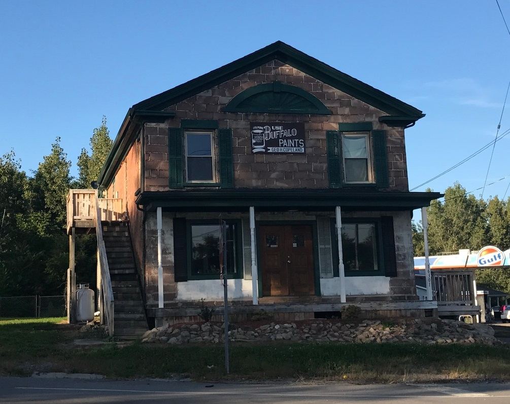
Waterfalls near Albion, NY
14 named waterfalls within 30 miles of Albion, closest first. Distances are straight-line from the town center.
Visits with route details
Read the walking route, starting point and current access notes.
 Clarendon FallsVillage park; falls visible from the parking areaOrleans County, NY
- Holly FallsVillage park falls visible from the parking lot; flows only in canal seasonOrleans County, NY
 Medina FallsVillage falls seen from the Erie Canal towpathOrleans County, NY
 Indian FallsPartial: view only from a private restaurant lot; meant for customersGenesee County, NY
- Royalton FallsCounty park trail to the top of the falls; summer seasonNiagara County, NY
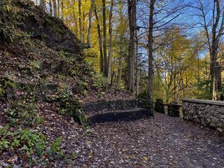 Akron FallsCounty park trail to a falls viewing areaErie County, NY
- Indian FallsShort trail in a city-edge wilderness parkNiagara County, NY
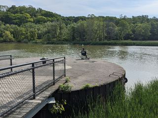 Turning Point FallsPartial guide: two falls in the park; which one this listing marks is not confirmedMonroe County, NY
- Lower FallsCity bridge and park viewpoints; short walkMonroe County, NY
- Middle FallsCity park trail to the dam that now caps Middle FallsMonroe County, NY
- Norton’s FallsShort gorge trail from public fishing access parkingMonroe County, NY
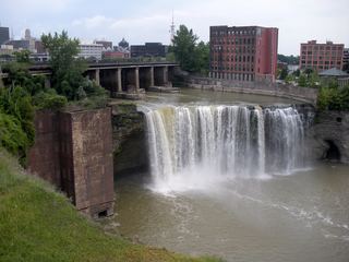 High FallsCity pedestrian bridge and overlooks; paved, short walk95 ft (29 m) · Monroe County, NY
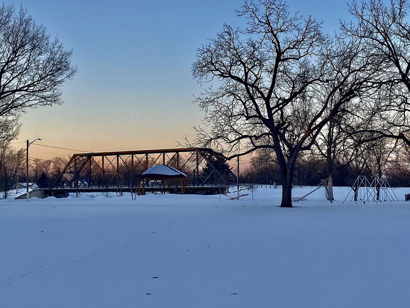
Closest with a photo
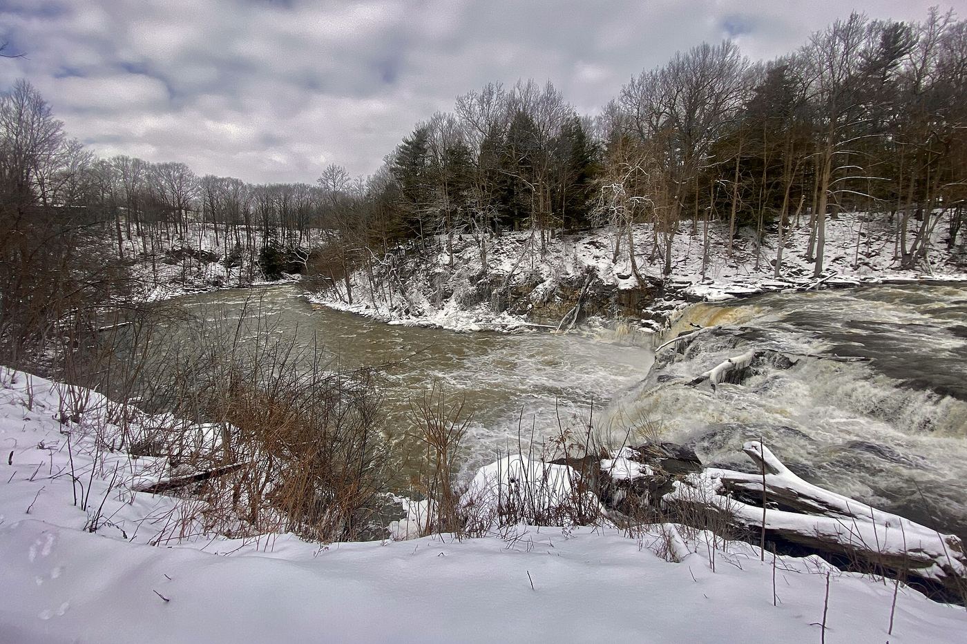
All 14 waterfalls
- Clarendon FallsVillage park; falls visible from the parking areaOrleans County, NY7.4 miSE
- Holly FallsVillage park falls visible from the parking lot; flows only in canal seasonOrleans County, NY8.9 miE
- Medina FallsVillage falls seen from the Erie Canal towpathOrleans County, NY9.7 miW
- Indian FallsPartial: view only from a private restaurant lot; meant for customersGenesee County, NY18 miSW
- Buttermilk FallsGenesee County, NY20 miSE
- Royalton FallsCounty park trail to the top of the falls; summer seasonNiagara County, NY20 miW
- Akron FallsCounty park trail to a falls viewing areaErie County, NY22 miSW
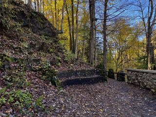 Upper Akron FallsErie County, NY22 miSW
- Indian FallsShort trail in a city-edge wilderness parkNiagara County, NY27 miW
- Turning Point FallsPartial guide: two falls in the park; which one this listing marks is not confirmedMonroe County, NY29 miE
- Lower FallsCity bridge and park viewpoints; short walkMonroe County, NY29 miE
- Middle FallsCity park trail to the dam that now caps Middle FallsMonroe County, NY29 miE
- Norton’s FallsShort gorge trail from public fishing access parkingMonroe County, NY29 miE
- High FallsCity pedestrian bridge and overlooks; paved, short walk95 ft (29 m) · Monroe County, NY30 miE