Screw Auger Falls
Oxford County, Maine
Your visit at a glance
- Waterfall height
- Not recorded
- Location
- Oxford County, Maine
- The walk
- Short path from Route 26; length unknown
- Ground & access
- Gorge and rock outcrops; exact path surfacing not specified in the state guide.
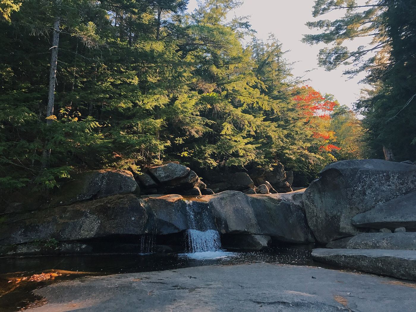
Take the walking path to the Bear River gorge and waterfall.
Plan your visit
Screw Auger Falls walking path
The opened state guide describes the path but does not publish a distance.
Gorge and rock outcrops; exact path surfacing not specified in the state guide.
Where to start
Use the named Screw Auger Falls parking lot on Route 26. State guide gives 44.572106, -70.902701.
Timing & water
State guide highlights late-spring snowmelt. Winter access and facilities at this specific lot are unconfirmed.
Before you go
Park fee payable at the self-service station in the falls parking lot; amount and booking policy not given.
Visitor informationMore waterfalls nearby
Within 40 straight-line miles. Road and trail distances will differ.
- Kees FallsNational forest trail route and trailhead documentedOxford County, ME16 miS
- Angel FallsPublished trail with parking coordinates; stream crossings and logging roadFranklin County, ME17 miNE
- Rumford FallsRoadside view in town; flow controlled by damsOxford County, ME18 miE
- Mad River FallsGuidebook route with matching coordinates; seasonal roadOxford County, ME20 miS
- The FallsOxford County, ME21 miE
- Crystal FallsPartial: falls on private land; roadside view; path permission not confirmedCoos County, NH21 miW
- Hermit FallsNational forest trail and short loopCoos County, NH21 miS
- Triple FallsShort steep forest trail beside a gorgeCoos County, NH22 miSW
- Brickett FallsNational forest trail from a small roadside trailheadCarroll County, NH23 miS