Angel Falls
Franklin County, Maine
Your visit at a glance
- Waterfall height
- Not recorded
- Location
- Franklin County, Maine
- Access status
- Published trail with parking coordinates; stream crossings and logging road
- The walk
- About 1.1 miles return (Maine Trail Finder)
- Ground & access
- Dirt, gravel and rock. Several rock-hop stream crossings that can be slippery and may be impassable in high water.
From the parking area in the old gravel pit, follow red blazes on a logging path across Berdeen Stream, then follow the red-blazed trail to Mountain Brook. The trail goes upstream and rock hops the brook several times before reaching the 90-foot falls. Return the same way.
Plan your visit
Gravel pit parking off Bemis Road to Angel Falls on Mountain Brook
Maine Trail Finder gives a 1.1-mile round trip with 200 feet of elevation gain. Maine by Foot gives about 0.4 mile each way depending on where you park.
Dirt, gravel and rock. Several rock-hop stream crossings that can be slippery and may be impassable in high water.
Where to start
Old gravel pit at the bottom of a steep road off Bemis Road, at 44.7902, -70.7079 for the turnoff. Bemis Road is a rough gravel logging road; logging trucks have the right of way. Maine by Foot says to park at the top if your car cannot handle the steep road. If the lot is full, choose another trail.
Timing & water
The Bemis Track was closed for two years after December 2023 storm damage and reopened in September 2025, per the Sun Journal. Roads may not suit low-clearance cars.
Before you go
No fee or reservation is mentioned.
Visitor informationVisit sources
More waterfalls nearby
Within 40 straight-line miles. Road and trail distances will differ.
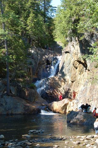 Smalls fallsState rest area with a short gorge trailFranklin County, ME11 miNE
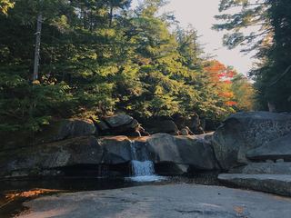 Screw Auger FallsResearched visit notesOxford County, ME17 miSW
- The FallsOxford County, ME17 miSE
- Rumford FallsRoadside view in town; flow controlled by damsOxford County, ME19 miSE
- Garfield FallsShort trail on private land open to the public; remote gravel road accessCoos County, NH26 miNW
- Little HellgateBuilt trail off remote logging roads; public welcomeCoos County, NH28 miNW
- Baby FlumeState park roadside stop and short pathCoos County, NH29 miW
- Huntington CascadesShort marked state park trail from a waysideCoos County, NH29 miW
- Crystal FallsPartial: falls on private land; roadside view; path permission not confirmedCoos County, NH32 miW