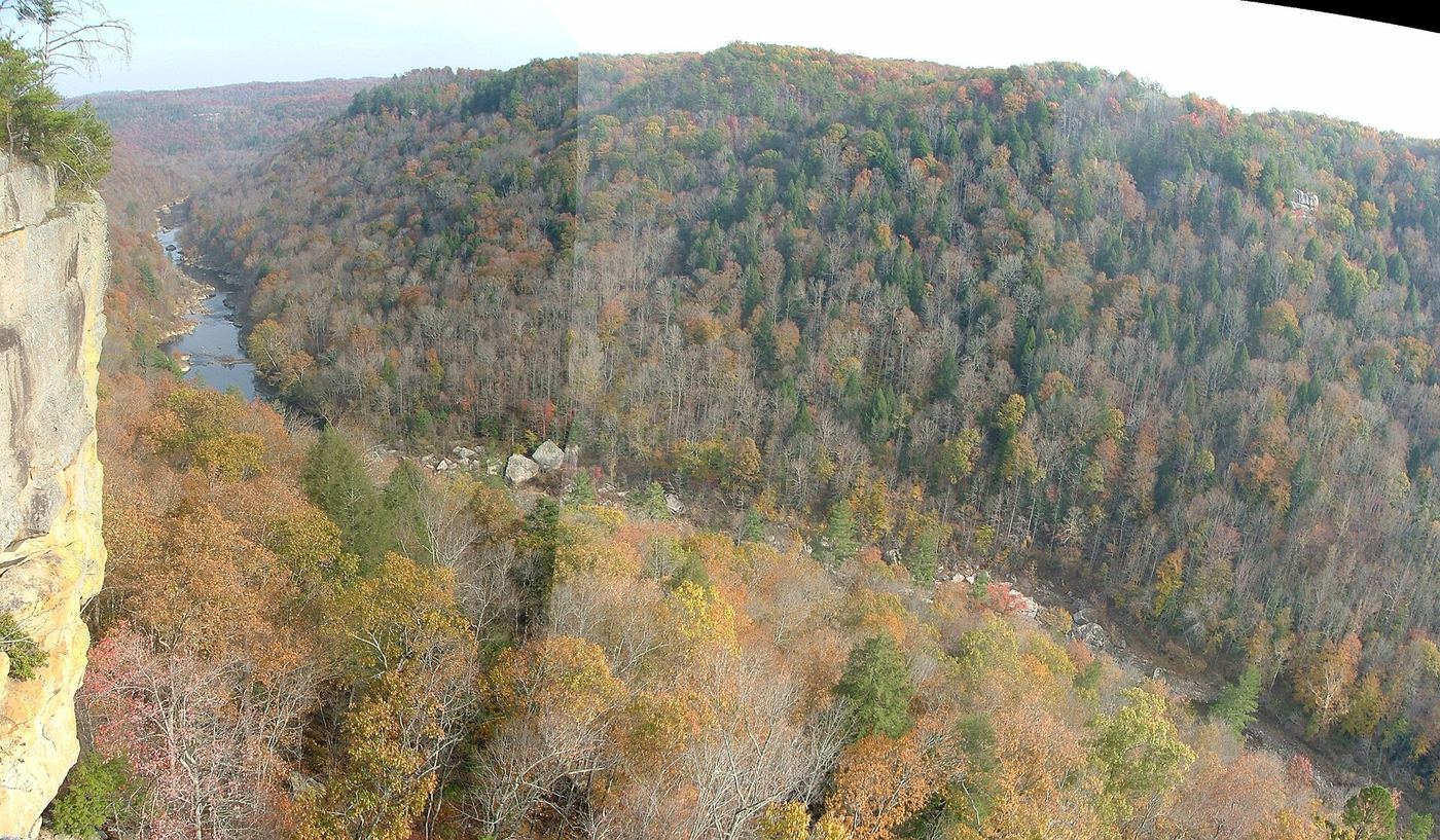
Waterfalls near Monticello, KY
19 named waterfalls within 30 miles of Monticello, closest first. Distances are straight-line from the town center.
Visits with route details
Read the walking route, starting point and current access notes.
- Town Creek FallsPartial guide: exact trailhead and parking not confirmedWayne County, KY
- Lower Lily Creek FallsPartial guide: drive-by view only; no safe place to stop confirmedRussell County, KY
- Yahoo FallsOfficial loop and parking documentedMcCreary County, KY
- Lick Creek FallsResearched route and starting areaMcCreary County, KY
- Big Spring FallsSigned trail and spur to viewing deck from Blue HeronMcCreary County, KY
 Angel FallsNational park trail and trailhead documentedScott County, TN
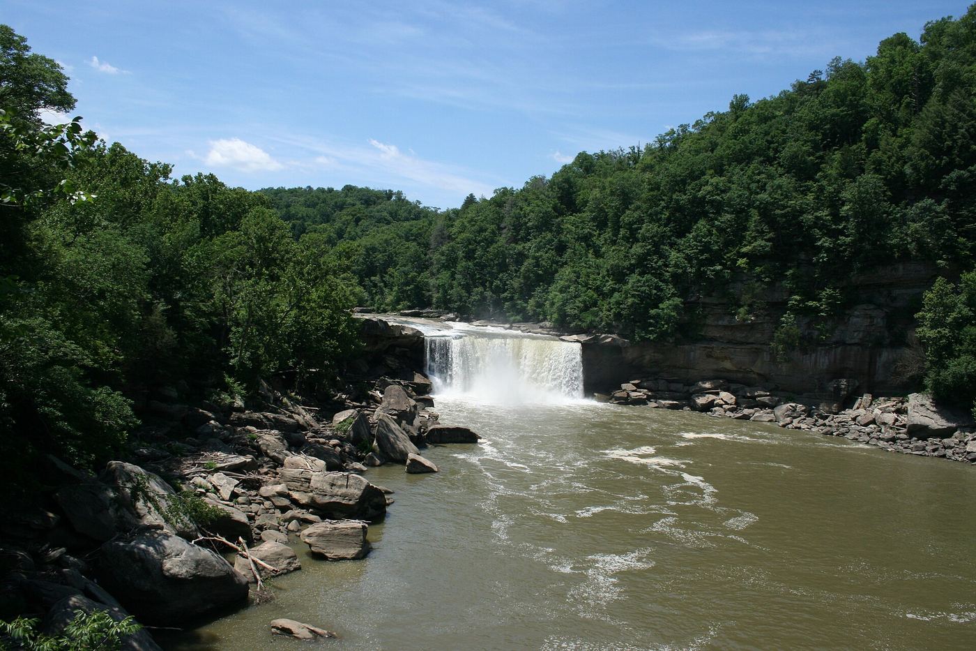
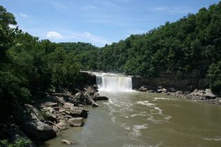 Cumberland FallsPaved short walk from visitors center to overlooks; some platforms may closeMcCreary County, KY
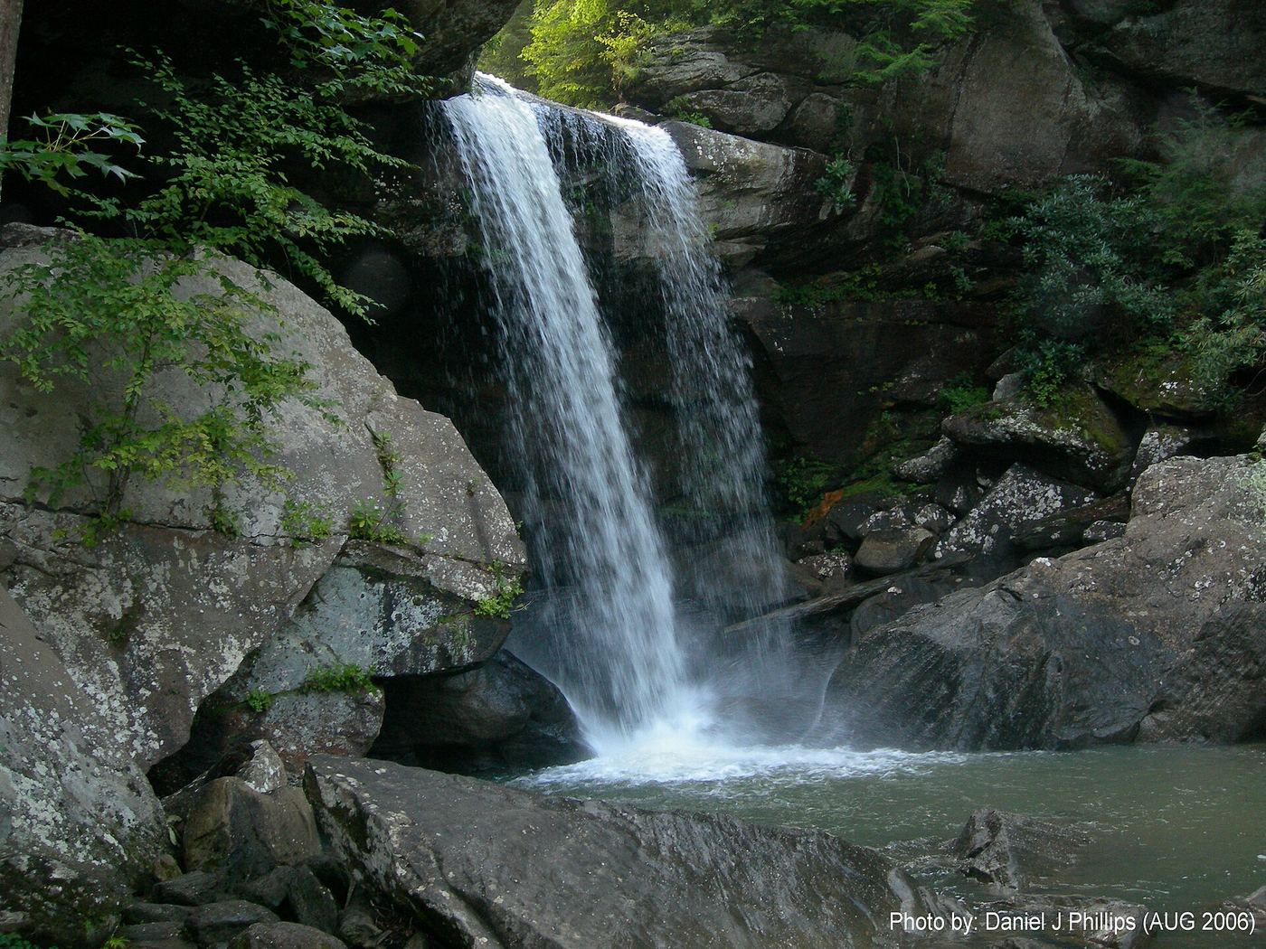
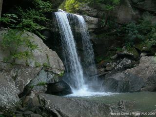 Eagle Creek FallsMarked state park trail with published GPS; closes in high waterMcCreary County, KY
- Dog Slaughter FallsOfficial open access from lower trailhead; creek ford required20 ft (6.1 m) · Whitley County, KY
Closest with a photo
All 19 waterfalls
- Town Creek FallsPartial guide: exact trailhead and parking not confirmedWayne County, KY1.9 miSW
- Meadow Creek FallsWayne County, KY8.3 miNE
- Handcock FallsClinton County, KY11 miW
- Lily Bend FallsRussell County, KY15 miNW
- Little Lily Creek FallsRussell County, KY15 miNW
- Lower Lily Creek FallsPartial guide: drive-by view only; no safe place to stop confirmedRussell County, KY15 miNW
- Upper Lily Creek FallsRussell County, KY15 miNW
- Yahoo FallsOfficial loop and parking documentedMcCreary County, KY19 miE
- Lick Creek FallsResearched route and starting areaMcCreary County, KY20 miE
- Big Spring FallsSigned trail and spur to viewing deck from Blue HeronMcCreary County, KY21 miSE
- Angel FallsNational park trail and trailhead documentedScott County, TN26 miSE
- Cumberland FallsPaved short walk from visitors center to overlooks; some platforms may closeMcCreary County, KY28 miE
- Eagle Creek FallsMarked state park trail with published GPS; closes in high waterMcCreary County, KY28 miE
- Pole Bridge Branch FallsPulaski County, KY29 miE
- Dutch Branch FallsLaurel County, KY29 miE
- Bear Creek FallsPulaski County, KY29 miE
- Dog Slaughter FallsOfficial open access from lower trailhead; creek ford required20 ft (6.1 m) · Whitley County, KY30 miE
- Star Creek FallsWhitley County, KY30 miE
- Devil Creek WatefallMcCreary County, KY30 miE