Dog Slaughter Falls
Whitley County, Kentucky
Your visit at a glance
- Waterfall height
- 20 ft (6.1 m)
- Location
- Whitley County, Kentucky
- Access status
- Official open access from lower trailhead; creek ford required
- The walk
- Distance from the lower trailhead not published by the Forest Service
- Ground & access
- Creek crossing with no bridge. Hazard trees after storms. Rocks around the falls are slippery.
Dog Slaughter Falls is a 15-foot waterfall on Dog Slaughter Creek in the London Ranger District, Daniel Boone National Forest. Storm damage has closed Trail #414 between its two trailheads, but the Forest Service says the lower trailhead and parking area closest to the falls is open and passable to the falls. The bridge there was removed, so you must cross the creek.
Plan your visit
Dog Slaughter Falls Trail #414 from the lower trailhead on Forest Service Road 195 (Dog Slaughter Road)
The Forest Service alert does not give a distance from the lower trailhead. A Waterfall Hero visitor account gives 6 miles return for a different, longer approach on the Moonbow Trail from Cumberland Falls State Resort Park.
Creek crossing with no bridge. Hazard trees after storms. Rocks around the falls are slippery.
Where to start
Lower trailhead parking area on FSR 195, Dog Slaughter Road, which the Forest Service says is cleared and open to travel.
Timing & water
Trail #414 is closed between its two trailheads (alert updated April 14, 2025). Do not cross the creek when it is rising after rain.
Before you go
Current fees and reservation requirements unknown.
Visitor informationVisit sources
More waterfalls nearby
Within 40 straight-line miles. Road and trail distances will differ.
- Star Creek FallsWhitley County, KY1.9 miN
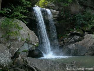 Eagle Creek FallsMarked state park trail with published GPS; closes in high waterMcCreary County, KY2.0 miSW
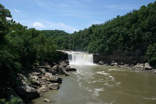 Cumberland FallsPaved short walk from visitors center to overlooks; some platforms may closeMcCreary County, KY2.3 miSW
- Devil Creek WatefallMcCreary County, KY2.9 miN
- Bark Camp Creek CascadesPublished route with matching coordinatesWhitley County, KY3.4 miN
- Bark Camp FallsWhitley County, KY3.6 miN
- Bark Camp Branch FallsPartial guide: which small falls this is has not been confirmedWhitley County, KY3.8 miN
- Boulder CascadeWhitley County, KY4.4 miN
- Grandaddy WaterfallsWhitley County, KY4.4 miN