Waterfalls near Euclid, OH
21 named waterfalls within 30 miles of Euclid, closest first. Distances are straight-line from the town center.
Visits with route details
Read the walking route, starting point and current access notes.
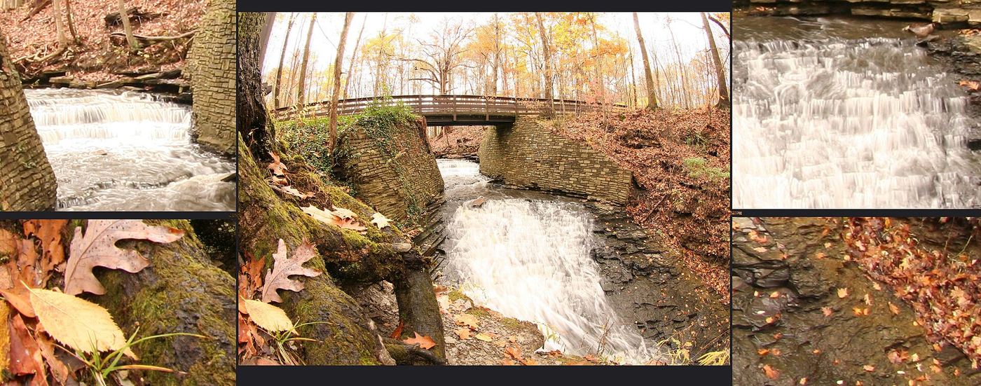
 Buttermilk FallsMetroparks overlook deck across the parkway from a trailhead lotCuyahoga County, OH
- Mill Creek FallsCity overlook deck; parking outside winter onlyCuyahoga County, OH
 Chagrin FallsPartial guide: village viewing area by the Main Street bridge; parking not describedCuyahoga County, OH
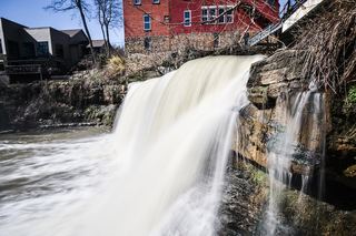
 Great Falls of Tinker's CreekMetroparks paved path to a wide historic falls13 ft (4 m) · Cuyahoga County, OH
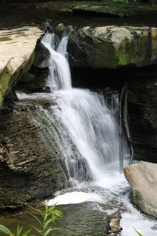
- Bridal Veil FallsMetroparks boardwalk and steps to a viewing deckCuyahoga County, OH
- Twin Sisters FallsPartial guide: unmarked creek walk off the Towpath Trail; canal crossing depends on water levelSummit County, OH
- Crown Hill FallsHistorical walking route documented; current permission and parking unconfirmedSummit County, OH
- Deer Lick Cave FallsShort Metroparks loop past the cave to the fallsCuyahoga County, OH
- Columbia Beach FallsSmall lakeside park; steps down to the beachCuyahoga County, OH
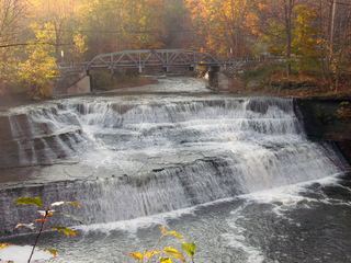 Paine FallsMetroparks overlook a short walk from the lotLake County, OH
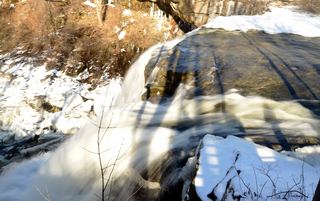 Brandywine FallsResearched visit notesAbout 60–65 ft · Summit County, OH
- Buttermilk FallsPartial guide: unmarked path past Blue Hen Falls; land manager at the falls unknownSummit County, OH
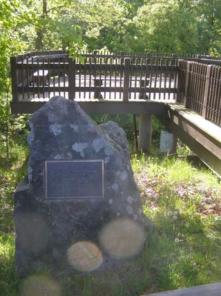 Berea FallsMetroparks overlook platform beside a small parking lotCuyahoga County, OH
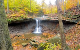 Blue Hen FallsNational park trail from the Boston Mill Visitor CenterSummit County, OH
- Quarry Lane Horseshoe FallsPartial guide: probable identity; short walk in a Metroparks reservationCuyahoga County, OH
Closest with a photo
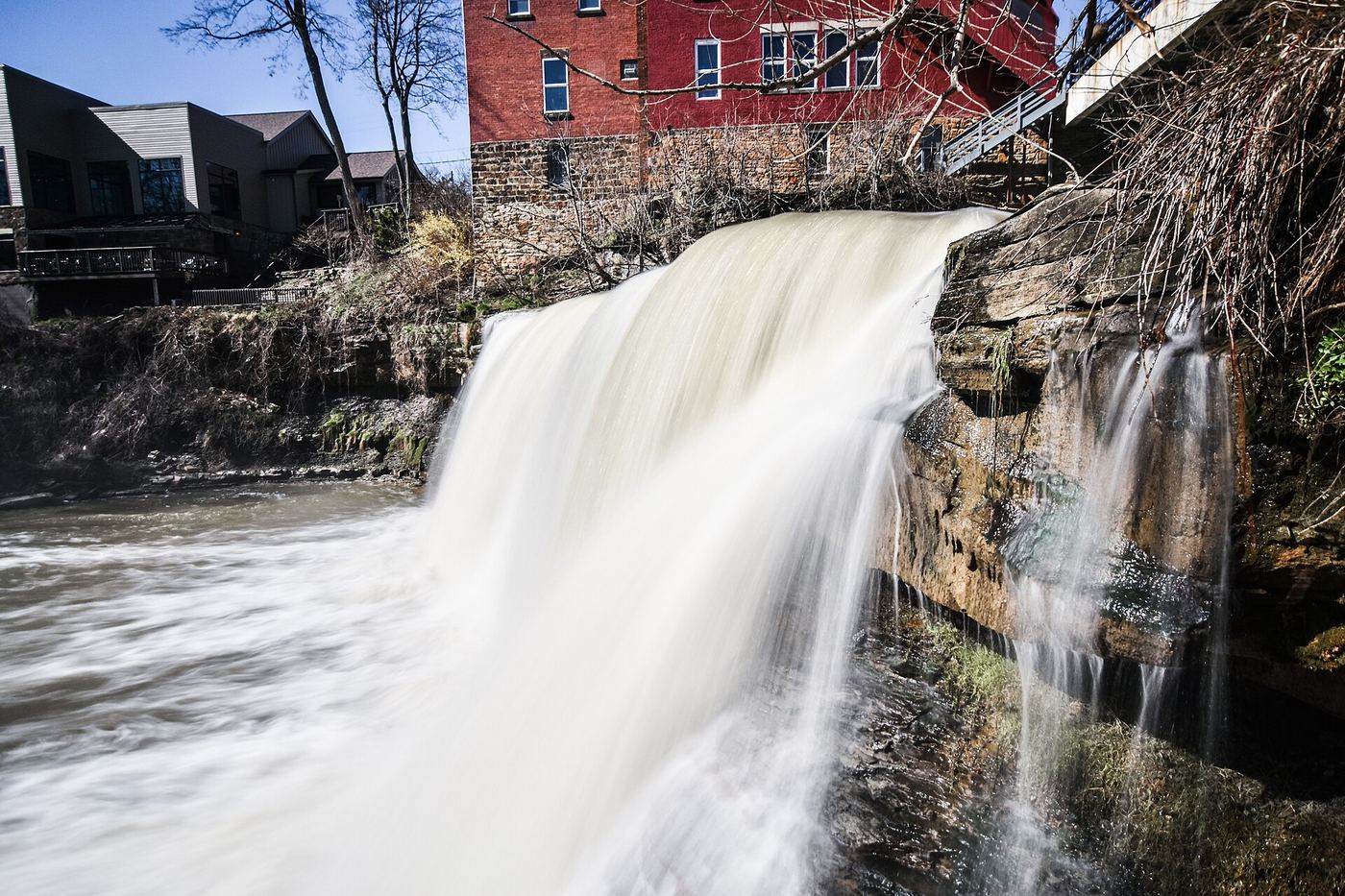
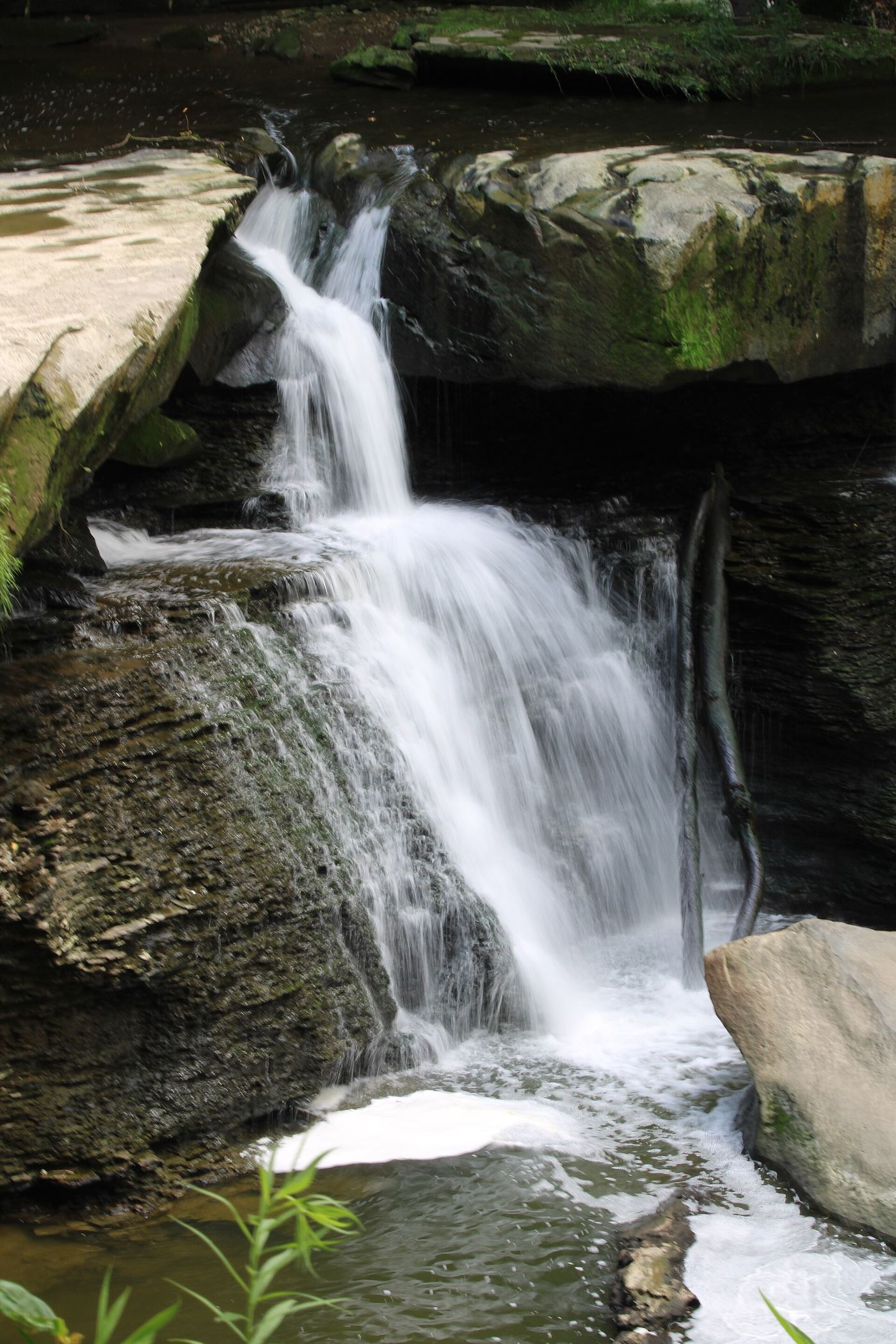
All 21 waterfalls
- Buttermilk FallsMetroparks overlook deck across the parkway from a trailhead lotCuyahoga County, OH5.1 miE
- Dugway Brook FallsCuyahoga County, OH5.8 miSW
- Mill Creek FallsCity overlook deck; parking outside winter onlyCuyahoga County, OH11 miSW
- Chagrin FallsPartial guide: village viewing area by the Main Street bridge; parking not describedCuyahoga County, OH13 miSE
- Great Falls of Tinker's CreekMetroparks paved path to a wide historic falls13 ft (4 m) · Cuyahoga County, OH14 miS
- Bridal Veil FallsMetroparks boardwalk and steps to a viewing deckCuyahoga County, OH15 miS
- Twin Sisters FallsPartial guide: unmarked creek walk off the Towpath Trail; canal crossing depends on water levelSummit County, OH19 miS
- Canyon FallsSummit County, OH20 miS
- Greenwood FallsSummit County, OH20 miS
- Crown Hill FallsHistorical walking route documented; current permission and parking unconfirmedSummit County, OH20 miS
- Deer Lick Cave FallsShort Metroparks loop past the cave to the fallsCuyahoga County, OH20 miS
- Columbia Beach FallsSmall lakeside park; steps down to the beachCuyahoga County, OH21 miW
- Paine FallsMetroparks overlook a short walk from the lotLake County, OH22 miNE
- Brandywine FallsResearched visit notesAbout 60–65 ft · Summit County, OH22 miS
- Buttermilk FallsPartial guide: unmarked path past Blue Hen Falls; land manager at the falls unknownSummit County, OH23 miS
- Berea FallsMetroparks overlook platform beside a small parking lotCuyahoga County, OH23 miSW
- Blue Hen FallsNational park trail from the Boston Mill Visitor CenterSummit County, OH23 miS
- Quarry Lane Horseshoe FallsPartial guide: probable identity; short walk in a Metroparks reservationCuyahoga County, OH23 miSW
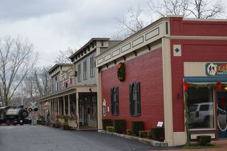 Olmsted FallsCuyahoga County, OH25 miSW
- Minnie Ha Ha FallsSummit County, OH26 miS
- Cataract FallsAshtabula County, OH29 miE