Sarampus Falls
Franklin County, Maine
Your visit at a glance
- Waterfall height
- Not recorded
- Location
- Franklin County, Maine
- Access status
- Roadside rest area viewpoint documented
- The walk
- About 40 feet from the western edge of the rest area
- Ground & access
- Nearly level short path to the riverbank.
From the Route 16 and Route 27 junction in Stratton (Eustis), drive Route 27 north 15.0 miles to the Sarampus Falls Rest Area on the right. Walk to the western edge of the rest area and follow a nearly level path about 40 feet to the brook. The low cascade is seen across a large pool.
Plan your visit
Sarampus Falls Rest Area on Route 27 to a riverside viewpoint
New England Waterfalls gives a 40-foot level path from the western edge of the rest area. The 15.0 miles is driving distance from Stratton.
Nearly level short path to the riverbank.
Where to start
Sarampus Falls Rest Area on Route 27, 2.0 miles north of the Alder Stream Township line sign.
Timing & water
April to November per New England Waterfalls.
Before you go
Free per New England Waterfalls (2017).
Visitor informationVisit sources
More waterfalls nearby
Within 40 straight-line miles. Road and trail distances will differ.
- Shadagee FallsFranklin County, ME3.1 miSE
- Grand FallsShort hike from a rafting put-in on a long dirt roadSomerset County, ME19 miE
- Holeb FallsSomerset County, ME20 miNE
- Long FallsSomerset County, ME20 miE
- Cold Stream FallsPublic land trail with logging-road accessSomerset County, ME30 miE
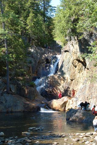 Smalls fallsState rest area with a short gorge trailFranklin County, ME31 miS
- Garfield FallsShort trail on private land open to the public; remote gravel road accessCoos County, NH31 miSW
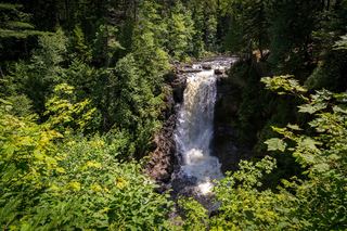 Moxie FallsResearched visit notesSomerset County, ME33 miE
- Little HellgateBuilt trail off remote logging roads; public welcomeCoos County, NH34 miSW