Moxie Falls
Somerset County, Maine
Your visit at a glance
- Waterfall height
- Not recorded
- Location
- Somerset County, Maine
- The walk
- 2 miles round trip in the manager-linked trail listing
- Ground & access
- Compacted dirt and gravel, followed by stairs and boardwalks near the falls.
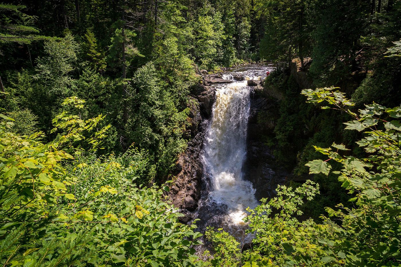
Follow the trail to wooden observation platforms, returning the same way.
Plan your visit
Moxie Falls Trail
Maine Trail Finder lists 2 miles round trip. Regional tourism describes about ½ mile to the falls, a conflict not resolved by a direct state trail page.
Compacted dirt and gravel, followed by stairs and boardwalks near the falls.
Where to start
Trail listing places the trailhead on the left about 2.3 miles along Moxie Pond/Lake Moxie Road from The Forks.
Timing & water
Unknown: check the manager for current trail conditions.
Before you go
The manager-linked trail listing says no fee. A direct state fee or reservation statement was not obtained.
Visitor informationVisit sources
More waterfalls nearby
Within 40 straight-line miles. Road and trail distances will differ.
- Cold Stream FallsPublic land trail with logging-road accessSomerset County, ME8.5 miNW
- Grand FallsShort hike from a rafting put-in on a long dirt roadSomerset County, ME15 miW
- Long FallsSomerset County, ME16 miSW
- Austinm Stream FallsShort walk on private timber land; current permission not confirmedSomerset County, ME17 miS
- Houston Brook FallsVisitor route and parking documented; private timber land open to the publicSomerset County, ME20 miS
- Little Wilson Upper FallsTrail route, parking and land ownership documentedPiscataquis County, ME23 miE
- Thompson Brook Upper FallsPiscataquis County, ME23 miE
- Thompson Brook Lower FallsPiscataquis County, ME23 miE
- Indian Stream FallsRecent visitor route; land owner and trail status not confirmedPiscataquis County, ME23 miE