WaterfallNear Me

Indiana waterfall visits

Compare 14 Indiana waterfall visits by the approach, terrain, and where to start. Some routes have closures or unresolved details; read the individual guide before travelling.

14 visit options

France Park Waterfalls, IN

County park waterfall; walking route and parking spot not published

Indiana

France Park Waterfalls

Distance not published

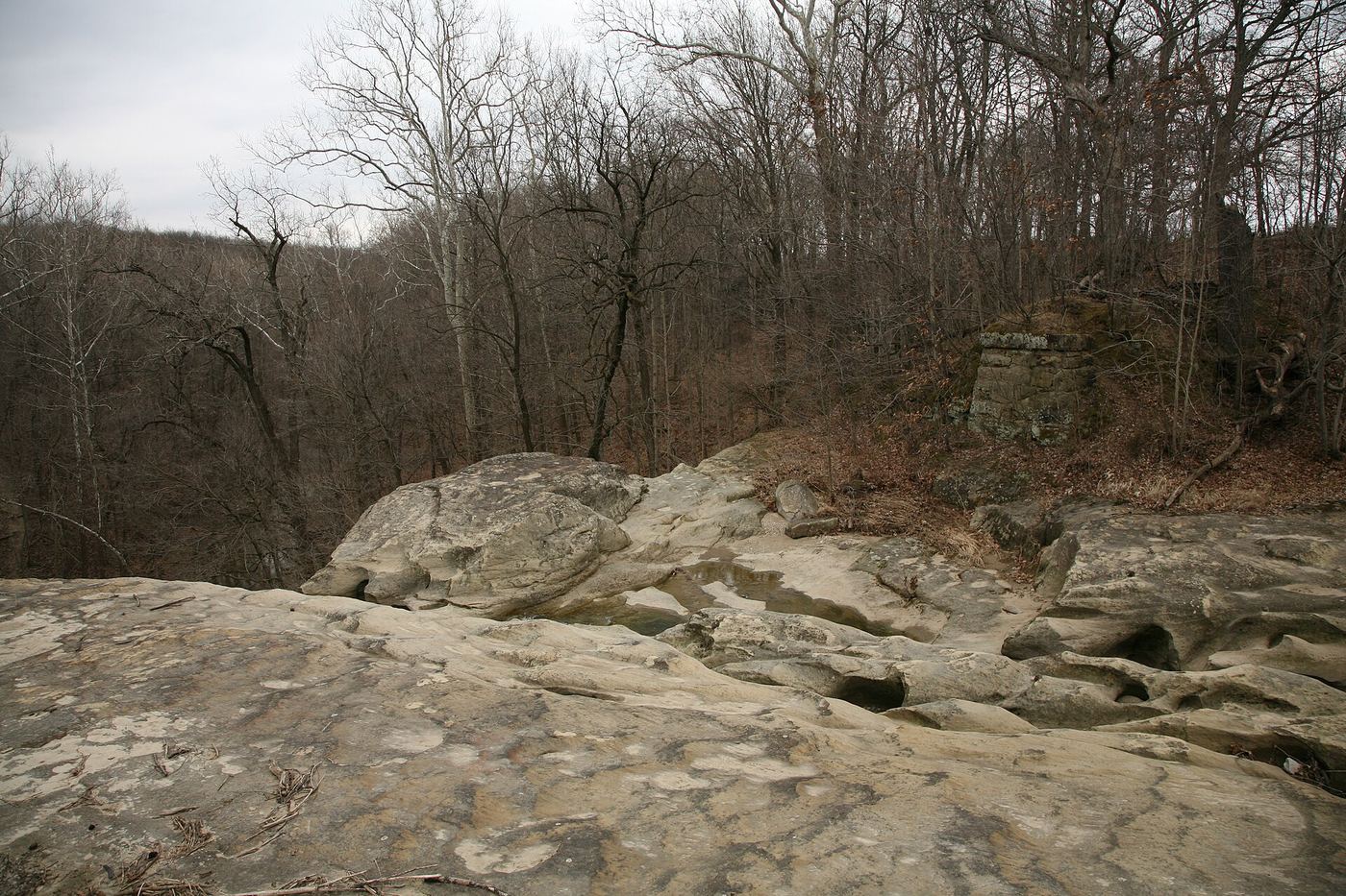
France Park is a Cass County park west of Logansport with trails, a former stone quarry swimming lake and a waterfall that feeds Elzbeck Lake. Pay the gate fee at the gatehouse at the park entrance. The park pages do not describe the walk to the waterfall; ask at the gatehouse. Climbing, jumping or diving from the cliffs is banned.
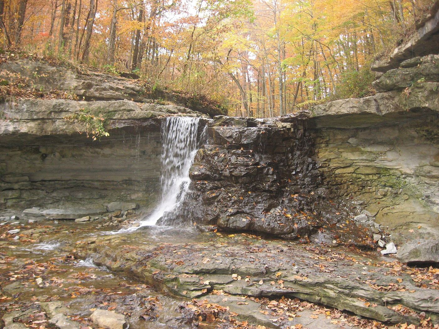
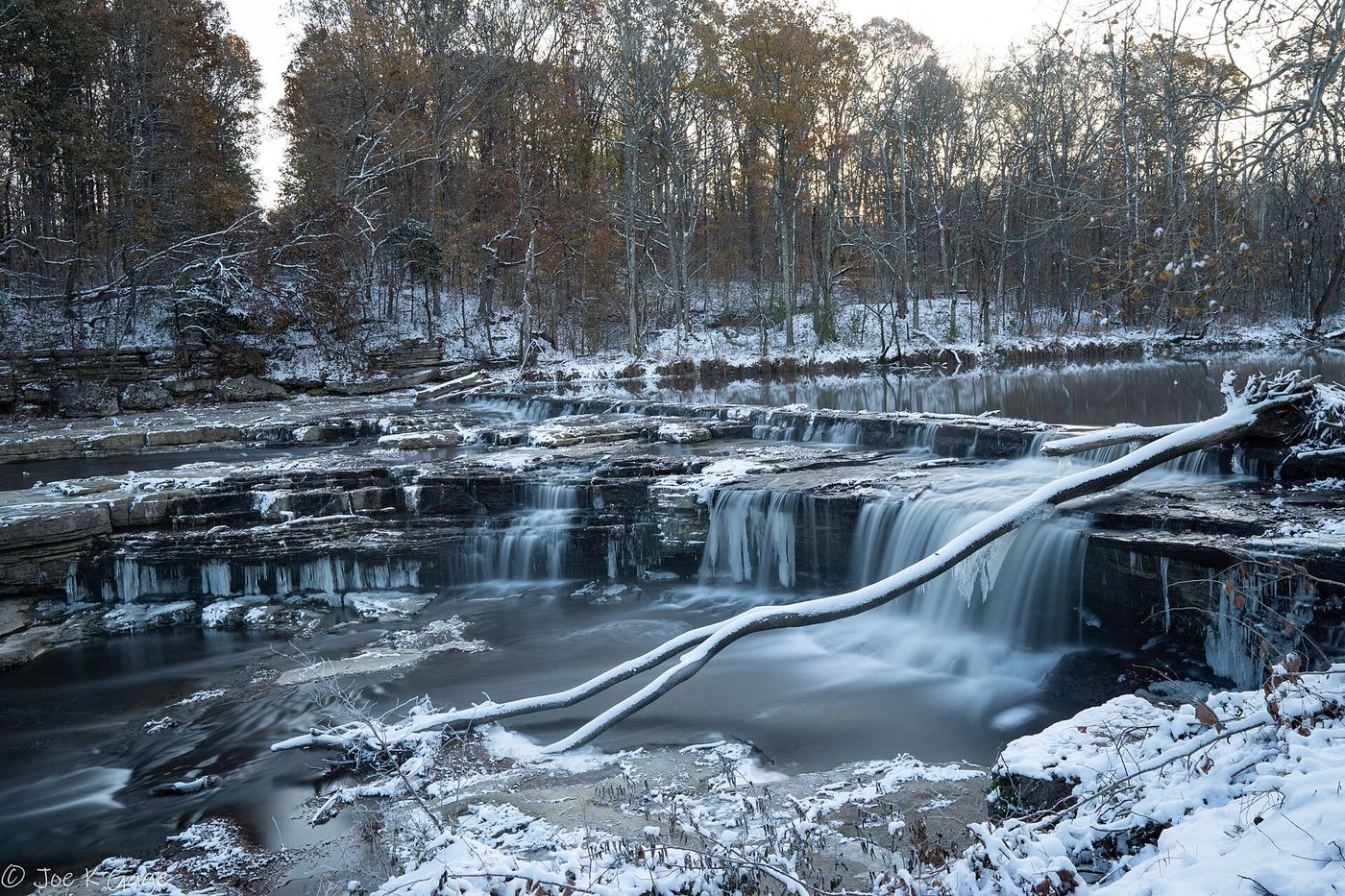
Photo creditPhoto: Serge Melki from Indianapolis, USA, CC BY 2.0, via Wikimedia Commons
McCormick's Creek Waterfall, IN

State park loop to the falls; creek crossings without bridges; check trail status

Indiana

McCormick's Creek Waterfall

0.8-mile loop

The waterfall on McCormick's Creek is in Indiana's first state park near Spencer. Trail 3 begins across from Canyon Inn and drops into the canyon with access to the falls before ending at Stoney restroom. There are no bridges over the creek.

Photo creditPhoto: Nyttend, Public domain, via Wikimedia Commons
Upper Cataract Falls, IN

Short walk to overlook platforms; entrance fee listed

Indiana

Upper Cataract Falls

Short walk to the overlook

Upper Cataract Falls (about 45 feet) on Mill Creek is the larger of the two Cataract Falls in Owen County. A short walk from the main parking area leads to overlook platforms, with the 1875 covered bridge just upstream. IDNR's Creekside Trail starts at the upper falls overlook and follows the creek to the Lower Falls.

Photo creditPhoto: Joseph Gage from USA, CC BY-SA 2.0, via Wikimedia Commons
Williamsport Falls, IN

Town viewpoint from the lot behind the fire station; often dry

Indiana

Williamsport Falls

View from the lot; about a five-minute downhill walk to the creek

Williamsport Falls on Fall Creek is often called the tallest free-falling waterfall in Indiana. Turn south on Monroe Street; just across the railroad tracks on the left is the fire station, and the parking area behind it overlooks the falls (address given as 25 N Monroe St). A short path leads down to the creek. The falls are often dry and are sometimes called Dry Falls; visit after rain or snowmelt.

Photo creditPhoto: Daniel Schwen, CC BY-SA 4.0, via Wikimedia Commons

City park boardwalk to a waterfall viewing platform

Indiana

Cascades Falls

About 0.2 mile each way on the Waterfall Trail

Lower Cascades Park is Bloomington's first city park, on Old State Road 37 North in the valley of Cascades Creek. A city project completed in 2022 added more than 700 feet of accessible wooden boardwalk from the Waterfall Shelter to the park's signature waterfall. Walk the boardwalk to the viewing platform and return the same way.

Location map; no photo available.

Partial guide: public garden route documented; exact location match probable

Indiana

Charley Creek Falls

Garden path about half a mile in total; distance from the lot to the waterfall not published

Charley Creek Gardens is a free public garden run by the Honeywell Foundation along Charley Creek. From the parking lot near the hedge maze, take the pathway near the waterfall or go down the stairs through the shade garden path. The garden waterfall is listed on the self-guided tour. It is not confirmed that this listing is the garden waterfall rather than another drop on Charley Creek.

Location map; no photo available.

Partial guide: overlook location and distance from parking not confirmed

Indiana

Clifty Falls

Trail 7 is a 1.25-mile loop; distance to the Clifty Falls view not stated

Clifty Falls (Big Clifty Falls, about 60 feet) is at the north end of Clifty Canyon in Clifty Falls State Park near Madison. The park's trail map marks a Clifty Falls overlook near the north parking and picnic area, reached by part of Trail 7. Trail 7 continues past Little Clifty Falls on rocky footing to Lookout Point. Areas above and below all waterfalls are off limits.

Location map; no photo available.

Short walk from park lot to falls overlook

Indiana

Hoffman Falls

Short distance to the overlook

Hoffman Falls (about 78 feet on the park map) is in Clifty Falls State Park near Madison. IDNR describes Trail 4 starting at the Hoffman Falls parking lot, with a short walk to a spectacular falls overlook. The trail then follows the canyon to Lilly Memorial.

Location map; no photo available.

State park trail route documented; views partly blocked

Indiana

Little Clifty Falls

Short spur from Lookout Point; Trail 7 loop 1.25 miles

From the Lookout Point pull-off on the park road, take the spur to Trail 7 near Little Clifty Falls. Alternatively, start Trail 7 at the Clifty Shelter Picnic Area, descend the staircase, follow the rock wall and descend another stairway to the wooden bridge over Little Clifty Creek at the falls. Trees block most views.

Location map; no photo available.

Official map shows Lower Falls parking and trail; no swimming

Indiana

Lower Cataract Falls

Short walk from the Lower Falls parking; distance not published

Cataract Falls State Recreation Area is managed by the Indiana DNR at 2605 N. Cataract Rd., Spencer. The DNR map shows Lower Falls Road leading to a parking area and the Lower Falls shelter, with a short trail to the Lower Falls. The Creekside Trail connects to the Upper Falls and covered bridge. Swimming is prohibited anywhere along the creek and waterfalls, and climbing on the falls is not allowed.

Location map; no photo available.

Official trail and map location documented

Indiana

Maidenhair Fa lls

Trail 2 is 1.25 miles; distance to the falls not separately published

Indiana DNR describes Trail 2 as beginning at the trail to Lover's Leap, with views of Sugar Creek. The lower portion goes down the Steamboat Rock stairs and continues up the Pearl Ravine streambed. The official trail map marks Maidenhair Falls on Trail 2 in Pearl Ravine, south of Steamboat Rock.

Location map; no photo available.

Official trail description; creek-bed walking

Indiana

Silver Cascade Falls

Trail 1 is 0.75 mile

Start Trail 1 at Devil's Punchbowl. Follow the lower portion through the ravine creek bed to Silver Cascade. Steps from the ravine lead up to the upper trail and Inspiration and Prospect points. If the staircase above the falls is closed, return the way you came.

Location map; no photo available.

Visitor route and parking documented; old stairway to base

Indiana

Thistlethwaite Falls

Short walk; distance not published

Thistlethwaite Falls on the Whitewater River in Richmond was formed by a mill dam built in 1854. From I-70 go south on US-27 (Chester Boulevard) 1.5 miles and turn right on Waterfall Road. After about half a mile, cross the bridge just above the falls; the parking area is on the left. A trail leads to the top of the falls and an old stairway goes down to the base. The falls are on the Whitewater Gorge trail.

Location map; no photo available.

Official trail documented; tunnel closed but Trail 5 open

Indiana

Tunnel Falls

Trail 5 is 0.875 mile one way from Lilly Memorial to Tunnel Falls

Indiana DNR says Trail 5 starts at Lilly Memorial with a long, steep staircase to mid-canyon, follows the canyon past the tunnel entrances and Oak Grove, and reaches Tunnel Falls. A steep staircase also climbs from the falls overlook to the park road. Brough's Tunnel itself is closed indefinitely after a rockslide; Trail 5 remains open, but avoid both tunnel entrances.

Location map; no photo available.

Choose another state All mapped waterfalls in Indiana