Maidenhair Fa lls
Montgomery County, Indiana
Your visit at a glance
- Waterfall height
- Not recorded
- Location
- Montgomery County, Indiana
- Access status
- Official trail and map location documented
- The walk
- Trail 2 is 1.25 miles; distance to the falls not separately published
- Ground & access
- Rated rugged to very rugged. Stairs and streambed walking. The ravine portion may be impassable during high water.
Indiana DNR describes Trail 2 as beginning at the trail to Lover's Leap, with views of Sugar Creek. The lower portion goes down the Steamboat Rock stairs and continues up the Pearl Ravine streambed. The official trail map marks Maidenhair Falls on Trail 2 in Pearl Ravine, south of Steamboat Rock.
Plan your visit
Shades State Park: Trail 2 from the Lover's Leap trail, down Steamboat Rock stairs and up Pearl Ravine to Maidenhair Falls
Indiana DNR lists Trail 2 at 1.25 miles. The official map shows Maidenhair Falls on Trail 2 in Pearl Ravine, but no separate distance to the falls is published.
Rated rugged to very rugged. Stairs and streambed walking. The ravine portion may be impassable during high water.
Where to start
Park in the main day-use area near Hickory Lot and Devil's Punch Bowl shown on the official map, then walk toward Lover's Leap. Park address: 7751 S. 890 W., Waveland.
Timing & water
Trail 2 streambed portion may be impassable during high water. Trails 7 and 8 were closed on October 28, 2026; Trail 2 was not listed as closed.
Before you go
Indiana state park daily entrance fee per vehicle applies. Rates differ by plate state and property; check the DNR entrance fee page.
Visitor informationVisit sources
More waterfalls nearby
Within 40 straight-line miles. Road and trail distances will differ.
- Silver Cascade FallsOfficial trail description; creek-bed walkingMontgomery County, IN0.3 miNW
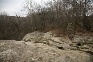 Williamsport FallsTown viewpoint from the lot behind the fire station; often dryWarren County, IN27 miNW
- Lower Cataract FallsOfficial map shows Lower Falls parking and trail; no swimmingOwen County, IN36 miS
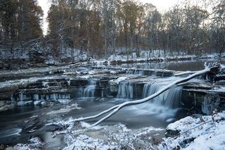 Upper Cataract FallsShort walk to overlook platforms; entrance fee listedOwen County, IN37 miS