Silver Cascade Falls
Montgomery County, Indiana
Your visit at a glance
- Waterfall height
- Not recorded
- Location
- Montgomery County, Indiana
- Access status
- Official trail description; creek-bed walking
- The walk
- Trail 1 is 0.75 mile
- Ground & access
- Moderate to rugged. Steps and walking in the creek bed; expect wet feet.
Start Trail 1 at Devil's Punchbowl. Follow the lower portion through the ravine creek bed to Silver Cascade. Steps from the ravine lead up to the upper trail and Inspiration and Prospect points. If the staircase above the falls is closed, return the way you came.
Plan your visit
Devil's Punchbowl via the lower part of Trail 1 to Silver Cascade
DNR gives 0.75 mile for all of Trail 1. The distance from parking to the Punchbowl and the falls alone is not given.
Moderate to rugged. Steps and walking in the creek bed; expect wet feet.
Where to start
State park parking near Devil's Punchbowl or the Hickory lot; the exact lot for Trail 1 is not stated on the DNR page.
Timing & water
DNR alert (checked 2026-10-28) lists Trails 7 and 8 closed; Trail 1 is not listed as closed. High water can make the creek bed impassable.
Before you go
State park entrance fees were not confirmed in the reviewed sources.
Visitor informationVisit sources
More waterfalls nearby
Within 40 straight-line miles. Road and trail distances will differ.
- Maidenhair Fa llsOfficial trail and map location documentedMontgomery County, IN0.3 miSE
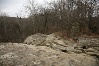 Williamsport FallsTown viewpoint from the lot behind the fire station; often dryWarren County, IN27 miNW
- Lower Cataract FallsOfficial map shows Lower Falls parking and trail; no swimmingOwen County, IN37 miS
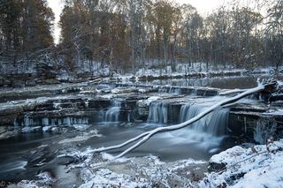 Upper Cataract FallsShort walk to overlook platforms; entrance fee listedOwen County, IN37 miS