Waterfalls near Warrenton, VA
9 named waterfalls within 30 miles of Warrenton, closest first. Distances are straight-line from the town center.
Visits with route details
Read the walking route, starting point and current access notes.
- Lands Run FallsNational park trail route and parking documentedWarren County, VA
- Cave FallsPark trail route from Meadow Spring; steep final descent; entrance feeRappahannock County, VA
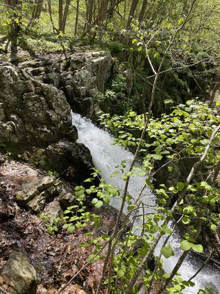 Upper Overall Run FallsNational park trail route and parking documented; viewpoint of the upper falls29 ft (8.8 m) · Warren County, VA
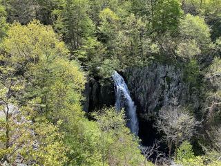 Overall Run FallsNational park trail route and parking documented93 ft (28.3 m) · Warren County, VA
All 9 waterfalls
- Lands Run FallsNational park trail route and parking documentedWarren County, VA23 miW
- Miller FallsRappahannock County, VA23 miW
- Coe CreekFairfax County, VA23 miE
- Brambleton Sign/Water DecorationLoudoun County, VA23 miNE
- Pua FallsClarke County, VA25 miN
- Greasy Falls20 ft (6 m) · Warren County, VA26 miW
- Cave FallsPark trail route from Meadow Spring; steep final descent; entrance feeRappahannock County, VA27 miW
- Upper Overall Run FallsNational park trail route and parking documented; viewpoint of the upper falls29 ft (8.8 m) · Warren County, VA27 miW
- Overall Run FallsNational park trail route and parking documented93 ft (28.3 m) · Warren County, VA27 miW