Waterfalls near Ramona, CA
14 named waterfalls within 30 miles of Ramona, closest first. Distances are straight-line from the town center.
Visits with route details
Read the walking route, starting point and current access notes.
- Cedar Creek FallsResearched visit notes80 ft (Forest Service) · San Diego County, CA
- Mildred FallsDistant view from a national forest trailSan Diego County, CA
- Three Sisters WaterfallsResearched visit notesSan Diego County, CA
- Los Penasquitos WaterfallOfficial preserve map and staging areas documented; distance estimated from mapSan Diego County, CA
- Cottonwood CreekPublished visitor route; unmarked pathSan Diego County, CA
- Maidenhair FallsPublished visitor route; scrambling requiredSan Diego County, CA
All 14 waterfalls
- Cedar Creek FallsResearched visit notes80 ft (Forest Service) · San Diego County, CA8.8 miSE
- Mildred FallsDistant view from a national forest trailSan Diego County, CA9.0 miE
- Washtub FallsSan Diego County, CA10 miNE
- Three Sisters WaterfallsResearched visit notesSan Diego County, CA11 miSE
- Los Penasquitos WaterfallOfficial preserve map and staging areas documented; distance estimated from mapSan Diego County, CA20 miSW
- Upper Barker Valley FallsSan Diego County, CA20 miN
- Lower Barker Valley FallsSan Diego County, CA20 miN
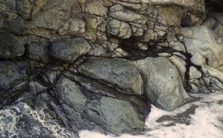 Lower Adobe FallsSan Diego County, CA22 miSW
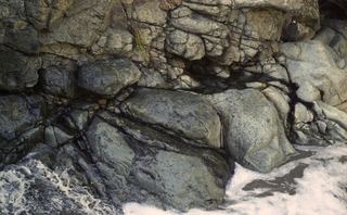 Adobe FallsSan Diego County, CA22 miSW
- Cottonwood CreekPublished visitor route; unmarked pathSan Diego County, CA27 miSE
- Africa Rocks WaterfallSan Diego County, CA27 miSW
- El Salto FallsSan Diego County, CA27 miW
- Maidenhair FallsPublished visitor route; scrambling requiredSan Diego County, CA28 miNE
- The FallsSan Diego County, CA28 miSE