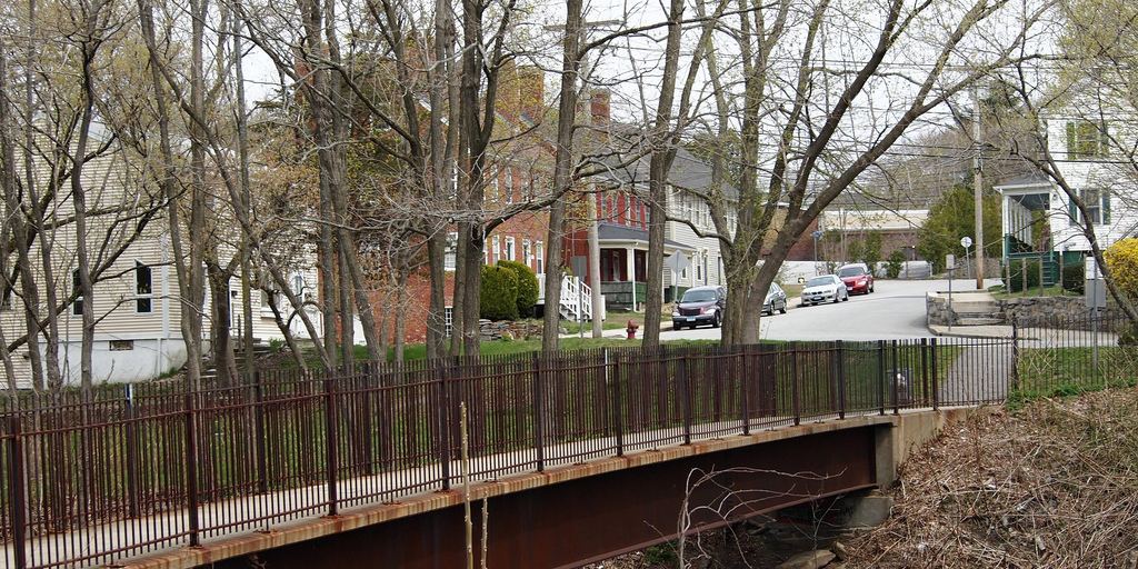
Waterfalls near Plainfield, CT
27 named waterfalls within 30 miles of Plainfield, closest first. Distances are straight-line from the town center.
Visits with route details
Read the walking route, starting point and current access notes.
- Stepstone FallsShort path from a parking area on Falls River RoadKent County, RI
- Ayer's Gap FallsFirsthand route and preserve parking documented; walk distance unknownNew London County, CT
- Ayer's Gap FallsPartial guide: parking and trail start official; distance and exact path to this falls not confirmedNew London County, CT
- Diana's Pool FallsPublished short path and parking documented; swimming prohibitedWindham County, CT
 Yantic FallsPartial guide: footbridge view documented; walk from parking not confirmedNew London County, CT
- Ponogansett FallsPartial guide: roadside view of a dam spillway; parking and listing match not confirmedProvidence County, RI
 Cargill FallsPublic river trail and parking documented; distance from a specific lot not statedWindham County, CT
- Cascade Brook FallsConservation area trail and parking documentedProvidence County, RI
- Grayville FallsGuidebook route and town park parking documentedNew London County, CT
- Chapman FallsDevil's Hopyard State Park; short walk from roadside parkingMiddlesex County, CT
- The FallsMarked preserve trail from the Snuff Mill Road trailheadWashington County, RI
- Day Pond Brook FallsState park trail to waterfall documentedNew London County, CT
 Blackledge FallsPartial guide: parking address and rules not confirmed from the townHartford County, CT
- CascadePublished trail route and roadside parking documentedHartford County, CT
Closest with a photo
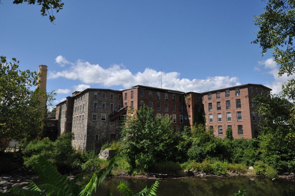
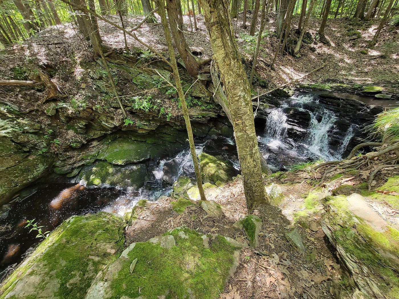
All 27 waterfalls
- Spencer Rock WaterfallKent County, RI7.8 miE
- Stepstone FallsShort path from a parking area on Falls River RoadKent County, RI9.1 miSE
- Little Muk FallsNew London County, CT10 miW
- Ayer's Gap FallsFirsthand route and preserve parking documented; walk distance unknownNew London County, CT12 miW
- Ayer's Gap FallsPartial guide: parking and trail start official; distance and exact path to this falls not confirmedNew London County, CT12 miW
- Diana's Pool FallsPublished short path and parking documented; swimming prohibitedWindham County, CT13 miNW
- Yantic FallsPartial guide: footbridge view documented; walk from parking not confirmedNew London County, CT13 miSW
- Ponogansett FallsPartial guide: roadside view of a dam spillway; parking and listing match not confirmedProvidence County, RI15 miNE
- Cargill FallsPublic river trail and parking documented; distance from a specific lot not statedWindham County, CT17 miN
 Codfish FallsTolland County, CT19 miNW
- CascadesTolland County, CT21 miNW
- Cascade Brook FallsConservation area trail and parking documentedProvidence County, RI23 miNE
- CascadeNew London County, CT23 miS
- CascadeNew London County, CT23 miS
- Payne's Pond Falls7 ft (2 m) · Kent County, RI23 miE
 East Greenwich Falls25 ft (7.5 m) · Kent County, RI24 miE
- Grayville FallsGuidebook route and town park parking documentedNew London County, CT24 miW
- Silver FallsNew London County, CT24 miSW
- Chapman FallsDevil's Hopyard State Park; short walk from roadside parkingMiddlesex County, CT26 miSW
- CascadeMiddlesex County, CT26 miSW
- The FallsMarked preserve trail from the Snuff Mill Road trailheadWashington County, RI27 miSE
- CascadeMiddlesex County, CT28 miSW
- Day Pond Brook FallsState park trail to waterfall documentedNew London County, CT28 miW
- Blackledge FallsPartial guide: parking address and rules not confirmed from the townHartford County, CT28 miW
- CascadeMiddlesex County, CT28 miSW
- Moodus FallsMiddlesex County, CT29 miSW
- CascadePublished trail route and roadside parking documentedHartford County, CT29 miW