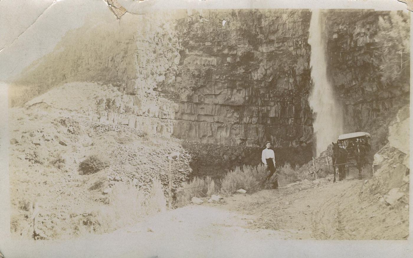
Waterfalls near Jerome, ID
9 named waterfalls within 30 miles of Jerome, closest first. Distances are straight-line from the town center.
Visits with route details
Read the walking route, starting point and current access notes.
- Auger FallsCity park route and parking documented; distance basis not statedJerome County, ID
 Perrine Coulee FallsRoadside parking; short unofficial trail behind the falls233 ft (71 m) · Twin Falls County, ID
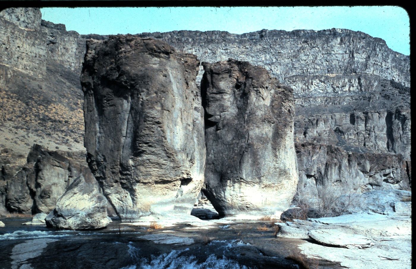
 Pillar FallsRim views documented; walking start unverifiedTwin Falls County, ID
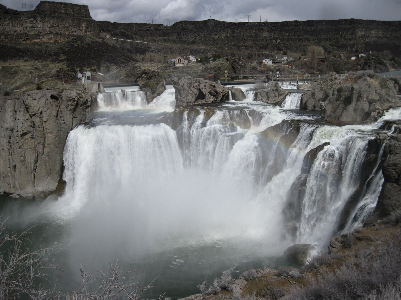
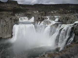 Shoshone FallsVerified park parking and viewing-platform approach212 ft (64.6 m) · Twin Falls County, ID
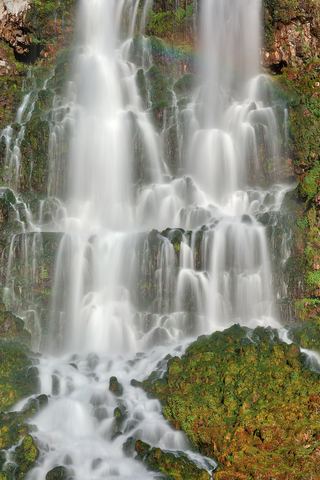 Lemmon FallsPartial guide: Ritter Island closed for the season; path described only by a photo-spot pageGooding County, ID
- Minnie Miller FallsOutside the published island seasonGooding County, ID
- Devil's washbowl waterfallState park footbridge viewpoint; vehicle entry feeGooding County, ID
Closest with a photo
All 9 waterfalls
- Auger FallsCity park route and parking documented; distance basis not statedJerome County, ID6.4 miS
- Perrine Coulee FallsRoadside parking; short unofficial trail behind the falls233 ft (71 m) · Twin Falls County, ID9.1 miS
- Pillar FallsRim views documented; walking start unverifiedTwin Falls County, ID9.7 miSE
- Shoshone FallsVerified park parking and viewing-platform approach212 ft (64.6 m) · Twin Falls County, ID11 miSE
- Devils Washboard FallsGooding County, ID14 miW
- Lemmon FallsPartial guide: Ritter Island closed for the season; path described only by a photo-spot pageGooding County, ID16 miW
- Minnie Miller FallsOutside the published island seasonGooding County, ID17 miW
- Salmon FallsGooding County, ID20 miW
- Devil's washbowl waterfallState park footbridge viewpoint; vehicle entry feeGooding County, ID20 miNW