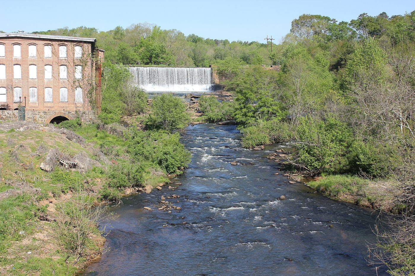
Waterfalls near Anderson, SC
10 named waterfalls within 30 miles of Anderson, closest first. Distances are straight-line from the town center.
Visits with route details
Read the walking route, starting point and current access notes.
- Meadow FallsForest trail and roadside trailhead documentedPickens County, SC
- Waldrop Stone FallsForest trail and designated trailhead documentedPickens County, SC
- Todd Creek FallsPartial guide: unmarked path and small roadside pull-offPickens County, SC
- Wildcat Creek FallsUniversity forest road walk to the falls documented; access road closed in winterPickens County, SC
- Arboretum FallsCity park paths to the falls documentedGreenville County, SC
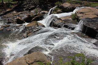 Reedy River FallsResearched visit notes28 ft (8.5 m) · Greenville County, SC
- Rock Quarry FallsCity garden falls reached by stone steps from a small pull-offGreenville County, SC
Closest with a photo
All 10 waterfalls
- Meadow FallsForest trail and roadside trailhead documentedPickens County, SC18 miNW
- Horsehead Point FallsPickens County, SC19 miNW
- Waldrop Stone FallsForest trail and designated trailhead documentedPickens County, SC19 miNW
- Todd Creek FallsPartial guide: unmarked path and small roadside pull-offPickens County, SC19 miNW
- Wildcat Creek FallsUniversity forest road walk to the falls documented; access road closed in winterPickens County, SC21 miNW
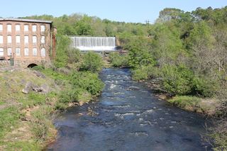 Conestee FallsGreenville County, SC25 miNE
- Arboretum FallsCity park paths to the falls documentedGreenville County, SC27 miNE
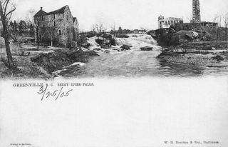 Lower Reedy River FallsGreenville County, SC27 miNE
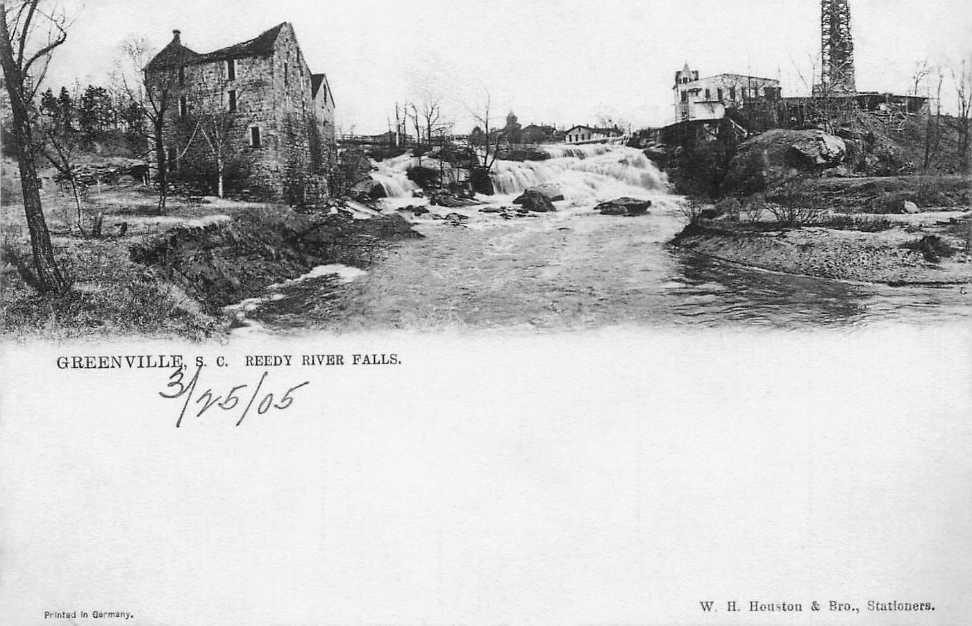
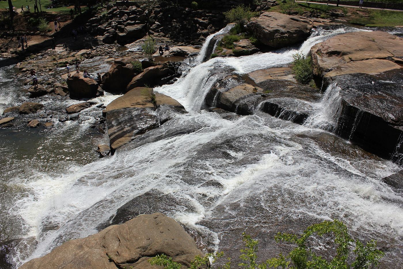
- Reedy River FallsResearched visit notes28 ft (8.5 m) · Greenville County, SC28 miNE
- Rock Quarry FallsCity garden falls reached by stone steps from a small pull-offGreenville County, SC28 miNE