Falls of Dismal
Giles County, Virginia
Your visit at a glance
- Waterfall height
- 10 ft (3 m)
- Location
- Giles County, Virginia
- Access status
- Source-reviewed route and parking
- The walk
- 0.1 mile round trip
- Ground & access
- Short easy trail; slippery rocks at its endpoint.
From the signed roadside pull-off on SR 671, follow the short trail to the falls. Giles County tourism describes easy terrain with slippery rocks at the viewpoint.
Plan your visit
Falls of Dismal trailhead on Dismal Creek Road
Giles County tourism explicitly gives 0.1 mile total round trip.
Short easy trail; slippery rocks at its endpoint.
Where to start
DWR gives trailhead parking at 37.185621, -80.902058 on the right of SR 671/Dismal Creek Road, reached from SR 606/Wilderness Road.
Timing & water
Current access and seasonal conditions require confirmation with the land manager.
Before you go
DWR lists free daily access.
Visitor informationMore waterfalls nearby
Within 40 straight-line miles. Road and trail distances will differ.
- CascadesNational forest trail route, parking and fee documentedGiles County, VA22 miNE
- Chestnut Creek FallsPartial: rail-trail route documented; Galax parking details and current trail status unconfirmedCarroll County, VA32 miS
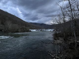 Sandstone FallsShort accessible national park boardwalk to river fallsSummers County, WV40 miN
- Camp CreekMontgomery County, VA40 miE