South Dakota
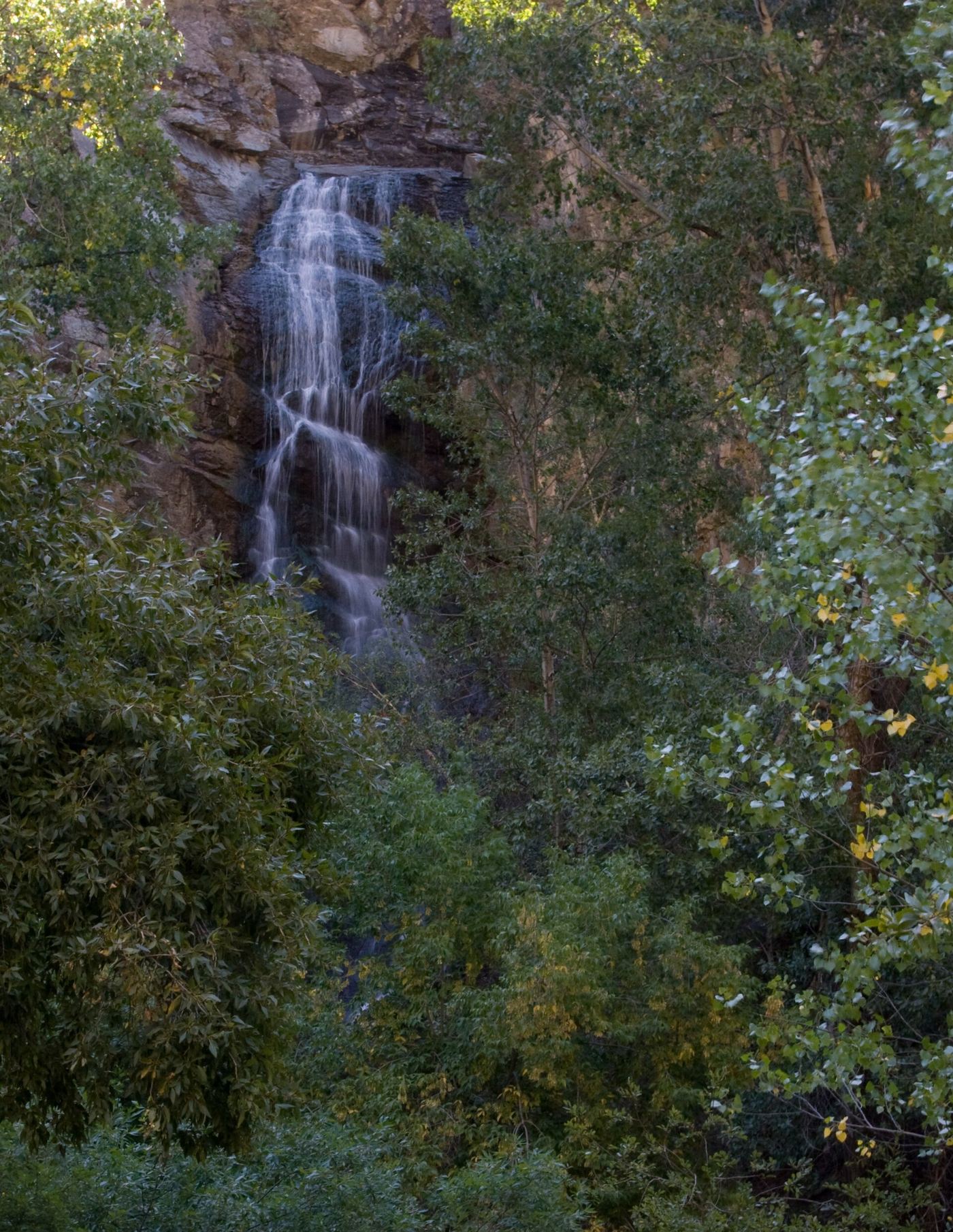
Bridal Veil Falls
Short viewing stop; distance not specified
View the falls from the observation platform beside the Spearfish Canyon road. Hiking in the waterfall area is prohibited.
Compare 4 South Dakota waterfall visits by the approach, terrain, and where to start. Some routes have closures or unresolved details; read the individual guide before travelling.
4 visit options
South Dakota
Short viewing stop; distance not specified
View the falls from the observation platform beside the Spearfish Canyon road. Hiking in the waterfall area is prohibited.
City park viewpoints documented
South Dakota
Park walkways to viewing platforms; no distance stated
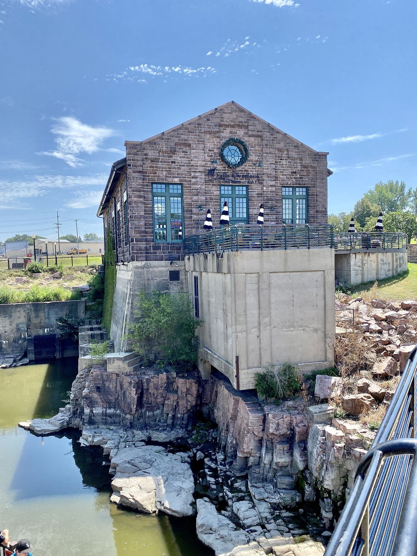
The falls of the Big Sioux River drop about 100 feet in a series of cascades through Falls Park, a 128-acre city park just north of downtown Sioux Falls. Walkways lead to several viewing platforms. The visitor information center has a five-story enclosed viewing tower with an elevator and an outdoor observation deck that gives a 360-degree view of the falls. The old millrace beside the falls is now a viewing platform. Sources describe the falls as one series and do not name the middle tier separately.
State nature area trail from Savoy to the base of the falls
South Dakota
0.7 mile one way, per the South Dakota Game, Fish and Parks trail map
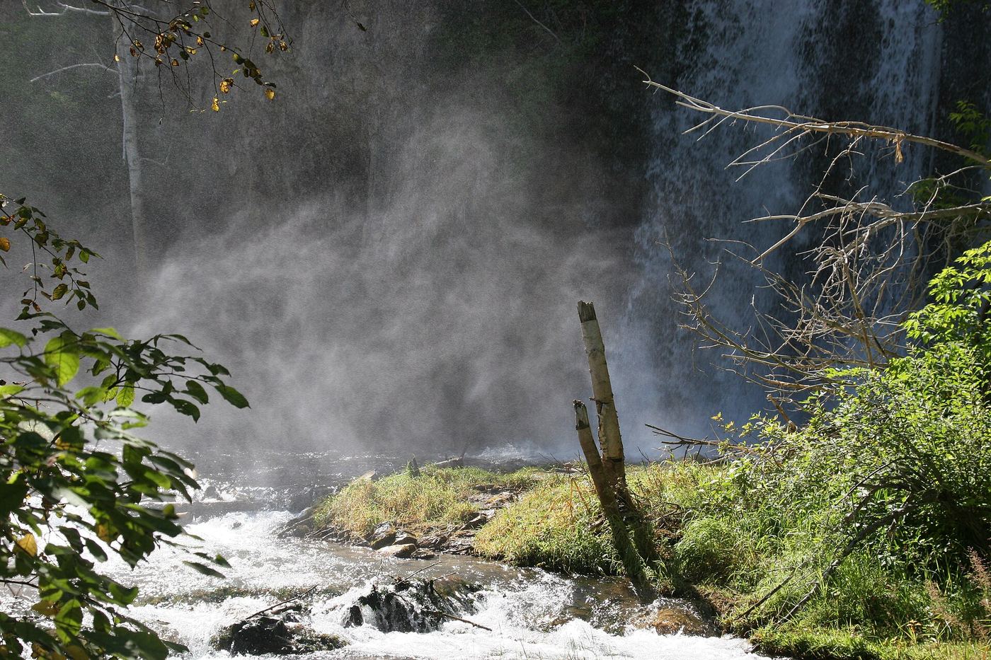
Spearfish Falls drops into Spearfish Canyon in the Spearfish Canyon Nature Area, managed by South Dakota Game, Fish and Parks. The trail starts at Savoy, at the junction where the Spearfish Canyon Scenic Byway meets the road to Roughlock Falls, beside the Latchstring restaurant. It descends into the canyon, crosses the creek on a bridge, and follows Spearfish Creek to a classic view from the bottom of the falls. A visitor account also mentions an upper overlook with a limited view from the top. Return the same way.
Route and trailhead parking verified
South Dakota
About 2.2 miles return
Follow Little Spearfish Creek from the Roughlock Falls trailhead near Spearfish Canyon Lodge to the waterfall observation areas.
Location map; no photo available.