Roughlock Falls
Lawrence County, South Dakota
Your visit at a glance
- Waterfall height
- 59 ft (18 m)
- Location
- Lawrence County, South Dakota
- Access status
- Route and trailhead parking verified
- The walk
- About 2.2 miles return
- Ground & access
- State map rates this trail moderate; observation paths shown at the falls.
Follow Little Spearfish Creek from the Roughlock Falls trailhead near Spearfish Canyon Lodge to the waterfall observation areas.
Plan your visit
Roughlock Falls Trail from the lodge-area trailhead
State map: 1.1 miles one-way, about 2.2 miles out and back. Local tourism rounds the trip to 2 miles.
State map rates this trail moderate; observation paths shown at the falls.
Where to start
From Highway 14A at Savoy, use FSR 222 beyond Spearfish Canyon Lodge. State map explicitly marks parking at the eastern Roughlock Falls trailhead.
Timing & water
Seasonal road and trail status not verified.
Before you go
Fee and reservation requirements not established by these sources.
Visitor informationVisit sources
More waterfalls nearby
Within 40 straight-line miles. Road and trail distances will differ.
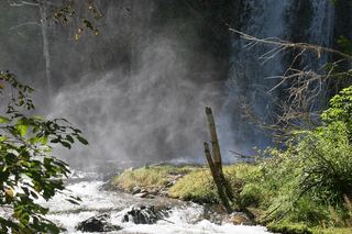 Spearfish FallsState nature area trail from Savoy to the base of the falls46 ft (14 m) · Lawrence County, SD0.7 miE
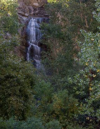 Bridal Veil FallsResearched visit notesLawrence County, SD5.6 miNE
- Mirror Creek Falls7 ft (2 m) · Lawrence County, SD15 miN
- Upper Windy Pine Falls7 ft (2 m) · Lawrence County, SD15 miN
- Lower Windy Pine Falls5 ft (1.5 m) · Lawrence County, SD15 miN
- Thunderhead FallsPennington County, SD33 miSE