WaterfallNear Me

New Mexico waterfall visits

Compare 7 New Mexico waterfall visits by the approach, terrain, and where to start. Some routes have closures or unresolved details; read the individual guide before travelling.

7 visit options

Fillmore waterfall, NM

BLM natural area trail; day-use fee; seasonal flow

New Mexico

Fillmore waterfall

About 3.5 to 4 miles total

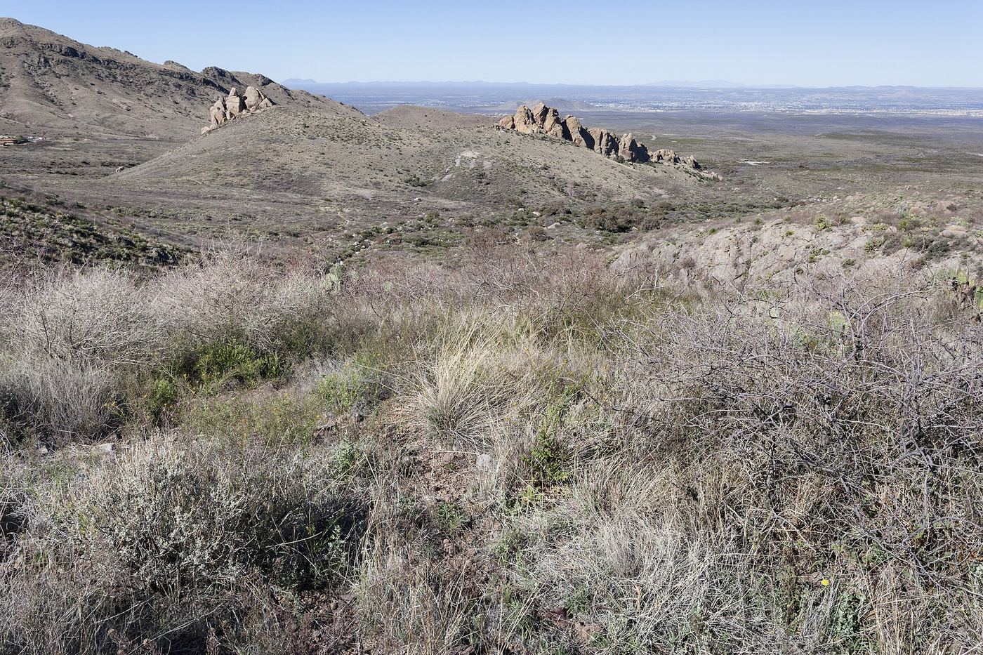
Fillmore waterfall is a small, seasonal waterfall where Fillmore Canyon ends, on the west side of the Organ Mountains in BLM's Dripping Springs Natural Area east of Las Cruces. From the visitor center, take the La Cueva Trail to the Fillmore Canyon Trail. The trail climbs past the fenced shafts and ruins of the old Modoc Mine and enters narrow Fillmore Canyon, which ends at the waterfall and a small pool. Most hikers turn around here. A rough trail continues up beside the falls. The route description dates from 2012.
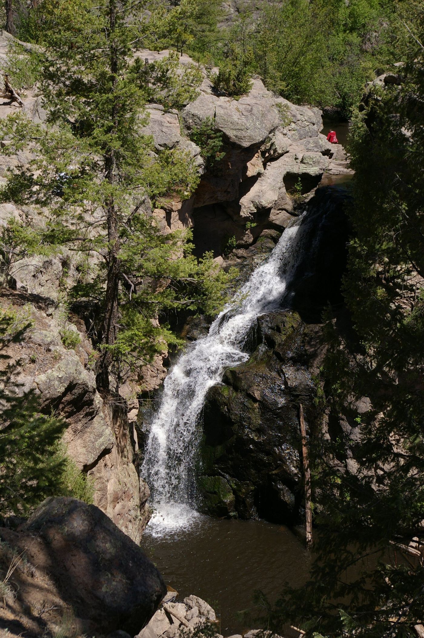
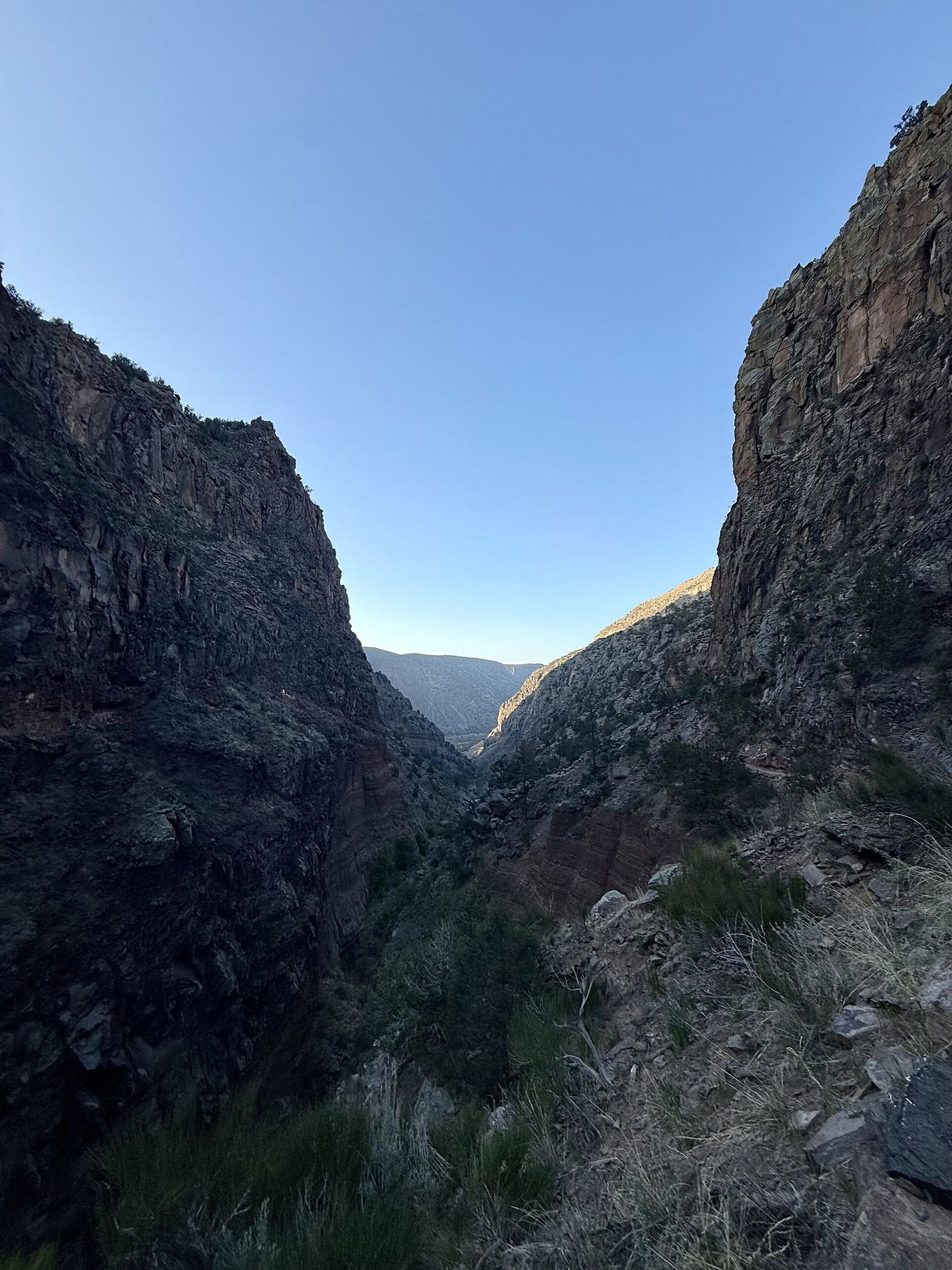
Photo creditPhoto: Patrick Alexander from Las Cruces, NM, CC0, via Wikimedia Commons
Jemez Falls, NM.

Source-reviewed route and parking

New Mexico

Jemez Falls

0.25 mile to overlook

Use the campground turnoff and continue past the campground and day-use area to the trailhead adjacent to the group area. Follow the short trail to the falls overlook.

Photo creditPhoto: NMMIMAJ, CC BY-SA 3.0, via Wikimedia Commons
Upper Frijoles Falls, NM

National monument trail to the Upper Falls; entrance fee

New Mexico

Upper Frijoles Falls

1.5 miles one way, descending 400 feet

Upper Frijoles Falls is the waterfall at the end of the Falls Trail on Frijoles Creek in Bandelier National Monument. The trail starts at the end of the Backpacker’s Parking Lot near the visitor center and descends 400 feet over 1.5 miles to the Upper Falls. The trail once continued to the Lower Falls and the Rio Grande, but floods in 2011 and 2013 destroyed that section, so the Upper Falls is the end of the trail. Return the same way.

Photo creditPhoto: MateoTimateo, CC BY-SA 4.0, via Wikimedia Commons

Partial guide: state park waterfall trail documented; match between this listing and the park waterfall is probable, not certain

New Mexico

Hyde Park Falls

1/2 mile round trip

Hyde Memorial State Park lies along Little Tesuque Creek in the Sangre de Cristo Mountains on Hyde Park Road (NM 475) above Santa Fe. The park trail guide describes a Waterfall Trail that starts near Group Shelter #2 and follows a trickling creek through a narrow canyon to a wall of bedrock with water cascading over it. The park does not use the name Hyde Park Falls; this listing is most likely the waterfall at the end of that trail, but the match is not certain. Return the same way.

Location map; no photo available.

Partial guide: long wilderness route; trail junctions and distance to the falls are unknown

New Mexico

Pecos Falls

Long wilderness hike; one-way distance to the falls unknown

Pecos Falls is a 60-foot horsetail waterfall on the upper Pecos River at about 10,200 feet in the Pecos Wilderness, Santa Fe National Forest. The usual start is the Iron Gate Trailhead, 23 miles north of Pecos by NM 63 and Forest Road 223. Hamilton Mesa Trail 249 climbs to Hamilton Mesa and heads north into the Pecos Falls area. Carry a current Pecos Wilderness map to find the exact trail junctions to the falls. This is a long trip, often done as an overnight. Camping and campfires are not allowed in the Pecos Falls area itself. The route description dates from 1998.

Location map; no photo available.

Partial: wilderness trail documented; distance to the falls not stated and the trail is hard to follow

New Mexico

Quemado Falls

Distance to the falls not stated; the whole Rio Quemado Trail is 10.8 miles

Rio Quemado Trail #153 begins at Forest Road 435 and climbs into the Pecos Wilderness. Go-NewMexico describes the trail dropping into the canyons of the Rio Quemado, a little-used section that may be hard to follow, then joining a jeep road from Truchas for a while before narrowing to a trail. It climbs along the north fork past small cascades to Quemado Falls; a short detour off the main trail gives a good view. The Forest Service says the trail is steep with much deadfall and does not advise access through the Truchas Land Grant. Return the same way.

Location map; no photo available.

Source-reviewed route and parking

New Mexico

Travertine Falls

About 0.4 mile outward to the falls junction; allow additional walking on the spur

Follow Crest Trail 130 from Canyon Estates. The local hiking group places Travertine Falls straight ahead where the trail doubles back right at approximately 0.4 mile. Take the falls spur rather than continuing the longer Faulty Loop. The group also describes a spur descending from Trail 130 to the waterfall base.

Location map; no photo available.

Choose another state All mapped waterfalls in New Mexico