Quemado Falls
Rio Arriba County, New Mexico
Your visit at a glance
- Waterfall height
- 33 ft (10 m)
- Location
- Rio Arriba County, New Mexico
- Access status
- Partial: wilderness trail documented; distance to the falls not stated and the trail is hard to follow
- The walk
- Distance to the falls not stated; the whole Rio Quemado Trail is 10.8 miles
- Ground & access
- Steep wilderness trail with much deadfall; parts are faint and hard to follow. High elevation, about 9,600 to 12,000 feet along the full trail.
Rio Quemado Trail #153 begins at Forest Road 435 and climbs into the Pecos Wilderness. Go-NewMexico describes the trail dropping into the canyons of the Rio Quemado, a little-used section that may be hard to follow, then joining a jeep road from Truchas for a while before narrowing to a trail. It climbs along the north fork past small cascades to Quemado Falls; a short detour off the main trail gives a good view. The Forest Service says the trail is steep with much deadfall and does not advise access through the Truchas Land Grant. Return the same way.
Plan your visit
End of Forest Road 435 past Borrego Mesa Campground, Rio Quemado Trail #153 up the north fork of the Rio Quemado to Quemado Falls
The Forest Service gives 10.8 miles for the full Rio Quemado Trail from Forest Road 435 to the cirque below Truchas Peak. The falls are partway along it. No source gives the distance to the falls.
Steep wilderness trail with much deadfall; parts are faint and hard to follow. High elevation, about 9,600 to 12,000 feet along the full trail.
Where to start
Go-NewMexico: from NM 503 about two miles north of Cundiyo, take Forest Road 306 for 9.1 miles to Forest Road 435 and Borrego Mesa Campground, then continue a mile or two to the road end at a gated private parcel with a cabin. Park outside the private land; there is room for one or two vehicles.
Timing & water
Go-NewMexico lists the season as spring to fall. The Forest Service lists the trail as steep with much deadfall.
Before you go
Santa Fe National Forest, Espanola Ranger District, Pecos Wilderness. No fee is stated by the sources.
Visitor informationVisit sources
More waterfalls nearby
Within 40 straight-line miles. Road and trail distances will differ.
- Pecos FallsPartial guide: long wilderness route; trail junctions and distance to the falls are unknown82 ft (25 m) · Mora County, NM6.2 miSE
- Rio en Medio Falls164 ft (50 m) · Santa Fe County, NM16 miSW
- Hyde Park FallsPartial guide: state park waterfall trail documented; match between this listing and the park waterfall is probable, not certainSanta Fe County, NM20 miSW
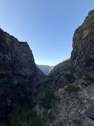 Upper Frijoles FallsNational monument trail to the Upper Falls; entrance feeLos Alamos County, NM37 miSW
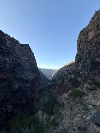 Lower Frijoles FallsLos Alamos County, NM37 miSW
- Salto Del Agua WaterfallTaos County, NM38 miN