Stair Falls
Piscataquis County, Maine
Your visit at a glance
- Waterfall height
- Not recorded
- Location
- Piscataquis County, Maine
- Access status
- Trail network, trailhead and access fee documented
- The walk
- About 1.7 miles one way to the Rim Trail, then a short way east past Billings Falls (distance not published)
- Ground & access
- Rugged trail with steep slopes, slate cliffs, rocks and roots. Maine Trail Finder says some hiking experience and sturdy footwear are needed. Cell service is unreliable.
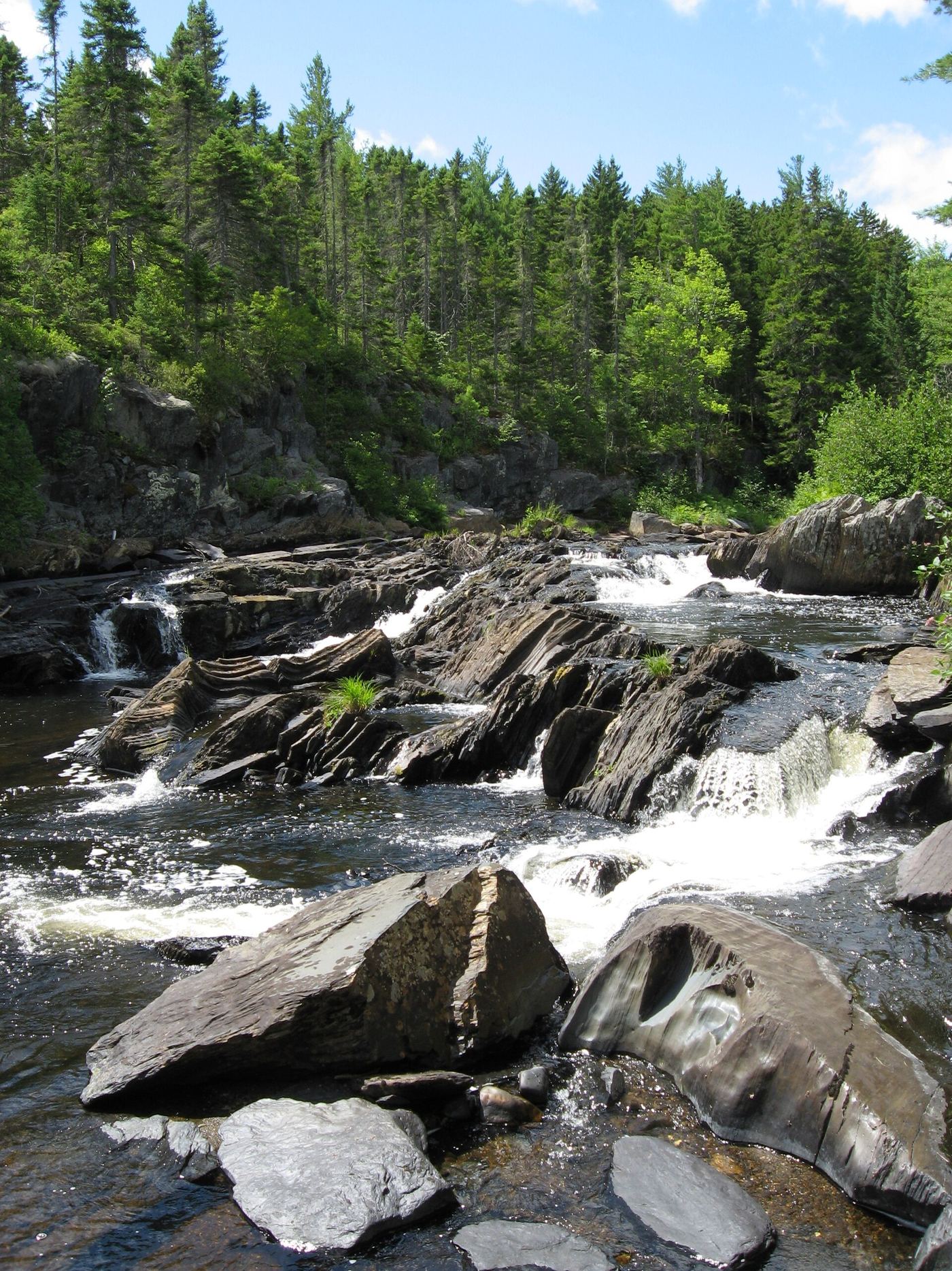
Stair Falls is one of the waterfalls in Gulf Hagas on the West Branch of the Pleasant River. From the west trailhead (Head of the Gulf parking area), hike about 1.7 miles to the Rim Trail near the Head of the Gulf. The Rim Trail runs east to west past Screw Auger Falls, Lower Falls, Hammond Street Pitch, The Jaws, Buttermilk Falls, Stair Falls, Billings Falls and the Head of the Gulf, so from the west end you pass Billings Falls and then reach Stair Falls. Return the same way or by the Pleasant River Tote Road. The east trailhead requires fording the river.
Plan your visit
Head of the Gulf parking area to the Gulf Hagas Rim Trail, west end
Bangor Daily News gives 1.7 miles from the west (Head of the Gulf) trailhead to the Rim Trail near the Head of the Gulf. The extra distance along the Rim Trail to Stair Falls is not published. The full Rim Trail and road loop is 8.6 to 9 miles.
Rugged trail with steep slopes, slate cliffs, rocks and roots. Maine Trail Finder says some hiking experience and sturdy footwear are needed. Cell service is unreliable.
Where to start
Head of the Gulf parking area, about 4.4 miles past the Gulf Hagas parking area on the access road, per Bangor Daily News. Maine Trail Finder says the west trailhead has a bridge over the river. If the lot is full, choose another trail.
Timing & water
Gravel logging roads; logging trucks have right of way. High use on weekends from 9 AM to 4 PM.
Before you go
Vehicle access crosses private land with a North Maine Woods fee at the KI checkpoint. Maine Trail Finder lists $11 Maine residents and $16 non-residents as of 2021; current amounts not confirmed. Cash or check only. No camping or fires in Gulf Hagas.
Visitor informationVisit sources
More waterfalls nearby
Within 40 straight-line miles. Road and trail distances will differ.
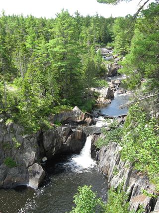 Billings FallsTrail network, trailhead and access fee documentedPiscataquis County, ME0.1 miE
- Buttermilk FallsTrail manager route and checkpoint fee documented; river fordPiscataquis County, ME0.7 miSE
- Screw Auger FallsPublished trail route and access fee; river fordPiscataquis County, ME1.9 miSE
- Hays Brook FallsPiscataquis County, ME3.2 miE
- Slugundy Lower FallsPiscataquis County, ME6.0 miSW
- Slugundy Upper FallsPiscataquis County, ME6.6 miSW
- Vaughn Stream FallsPiscataquis County, ME6.6 miSW
- Indian Stream FallsRecent visitor route; land owner and trail status not confirmedPiscataquis County, ME8.4 miSW
- Thompson Brook Lower FallsPiscataquis County, ME9.4 miSW