Illinois
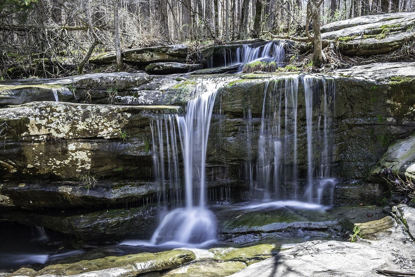
Burden Falls
Short roadside visit; no measured walking distance
The regional visitor guide describes upper falls visible from parking near their top. Lower canyon exploration is a separate, rougher outing and is not included here.
Compare 18 Illinois waterfall visits by the approach, terrain, and where to start. Some routes have closures or unresolved details; read the individual guide before travelling.
18 visit options
Illinois
Short roadside visit; no measured walking distance
The regional visitor guide describes upper falls visible from parking near their top. Lower canyon exploration is a separate, rougher outing and is not included here.
Canyon route documented; exact cascade not confirmed
Illinois
About 0.58 miles return
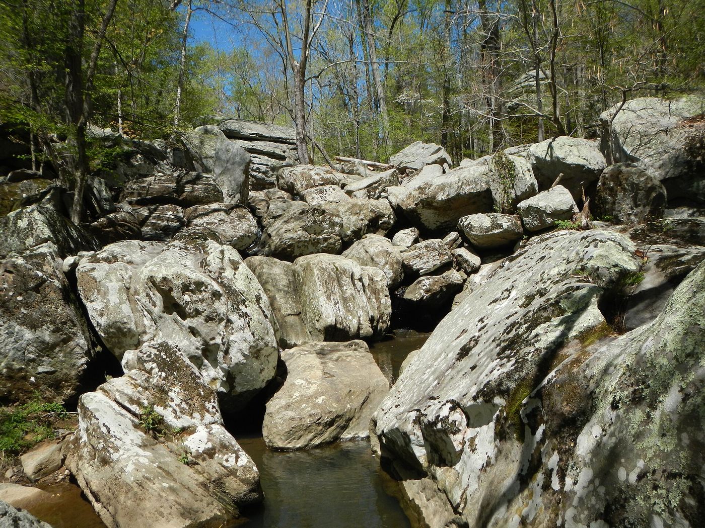
In Dixon Springs State Park, drive past the main waterfall and park at the swimming pool. Walk to the front of the pool building and turn right onto the trail into Ghost Dance Canyon, where several cascades can be seen. The specific cascade called Boulder Falls is not identified in the source.
Published route with matching coordinates; state park hours
Illinois
1.2 miles for the two-canyon hike
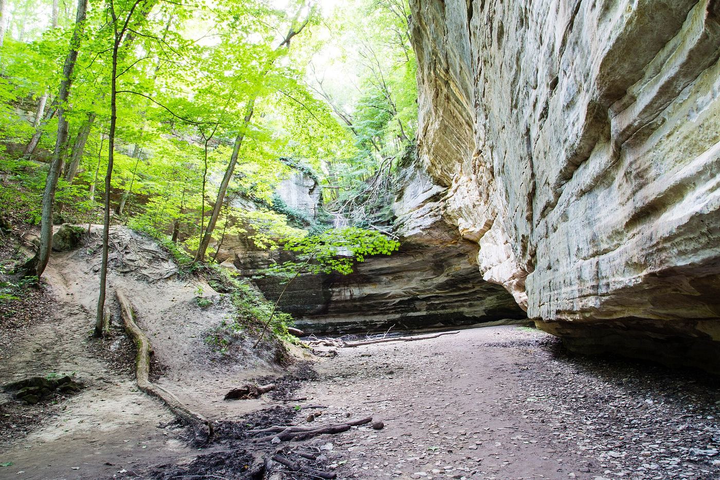
From Ottawa, drive west on IL-71 about 6 miles and turn left into the small parking area. Take the trail east. In about a quarter mile it passes Council Overhang; go left into the canyons, then right into Ottawa Canyon to reach the waterfall.
Official parking and trail documented
Illinois
Short walk; Rocky Glen Trail listed as 0.2 mile
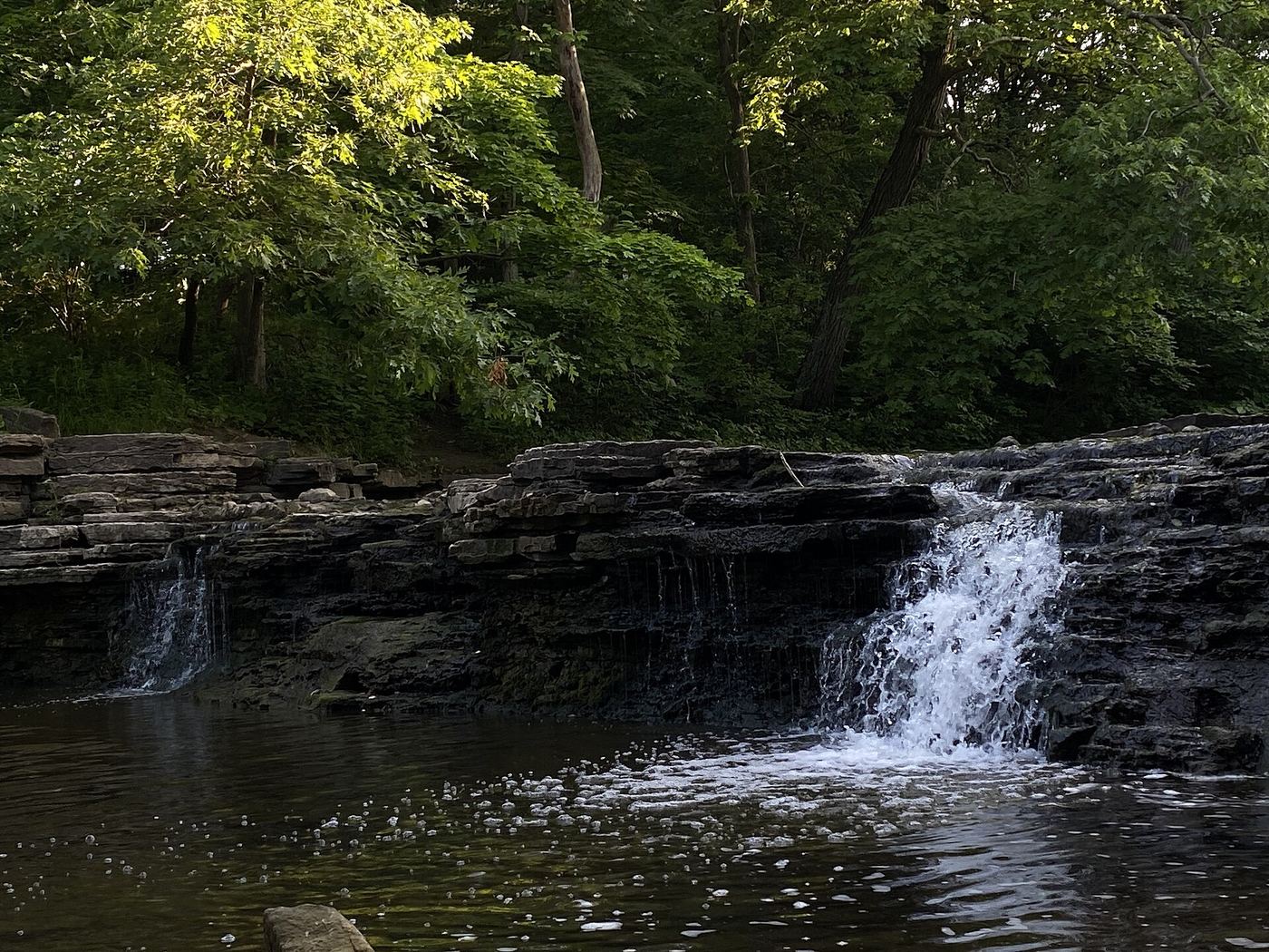
Waterfall Glen is known for its Rocky Glen waterfall, a small waterfall built by the Civilian Conservation Corps. The Forest Preserve District's trail map shows the waterfall on Sawmill Creek next to the Bluff Road waterfall parking lot, linked by the 0.2-mile Rocky Glen Trail.
Roadside view inside a private community; parking permission unconfirmed
Illinois
Roadside viewpoint; no trail
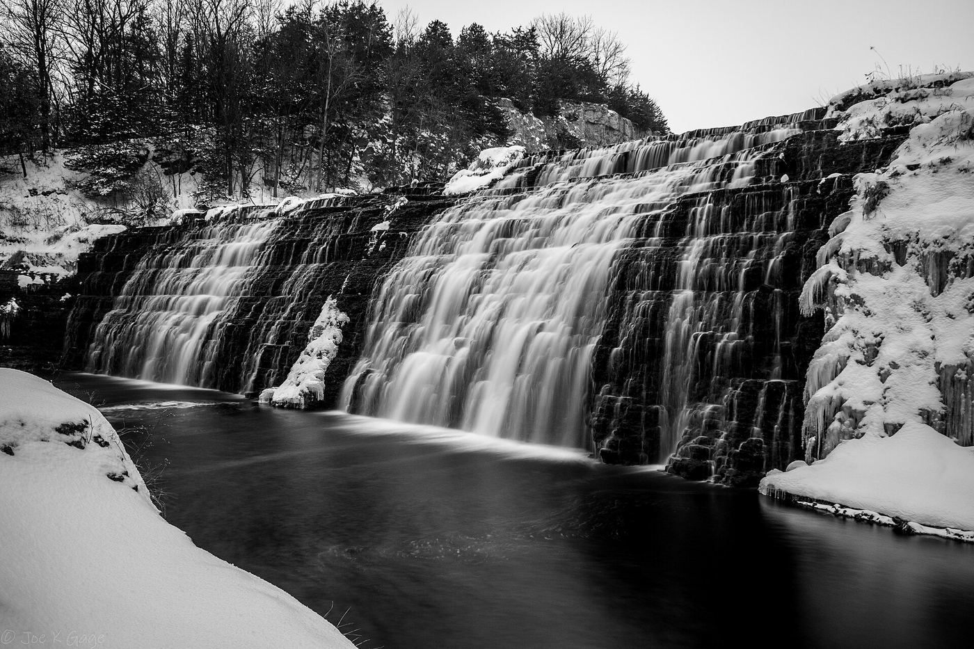
Thunder Bay Falls is a 40-foot waterfall below Lake Galena in The Galena Territory. A May 2026 Shaw Local guide says it is not on a public hiking trail. The Galena Territory is a private residential area, but its roads are public, so visitors can see the falls from Thunder Bay Road near Mount Hope Road. Stay on the road. Flow may be much lower in fall.
Roadside view from Forest Service parking lot
Illinois
A few feet from the parking area
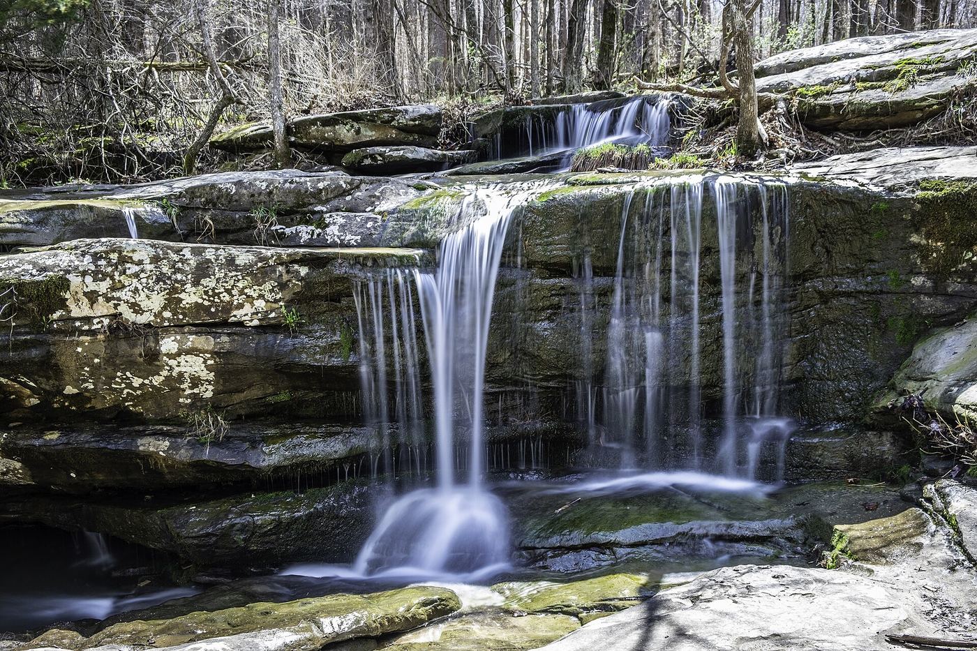
Burden Falls Wilderness in Pope County, Shawnee National Forest, has a seasonal waterfall that falls 20 feet over a sandstone ledge and then cascades another 80 feet. The upper section is beside the parking area. The Forest Service activity sheet says the route down to the base is a user trail with no designated trail.
Marked state park trail with stairs; 2026 trail work may limit access
Illinois
About 2.6 miles return
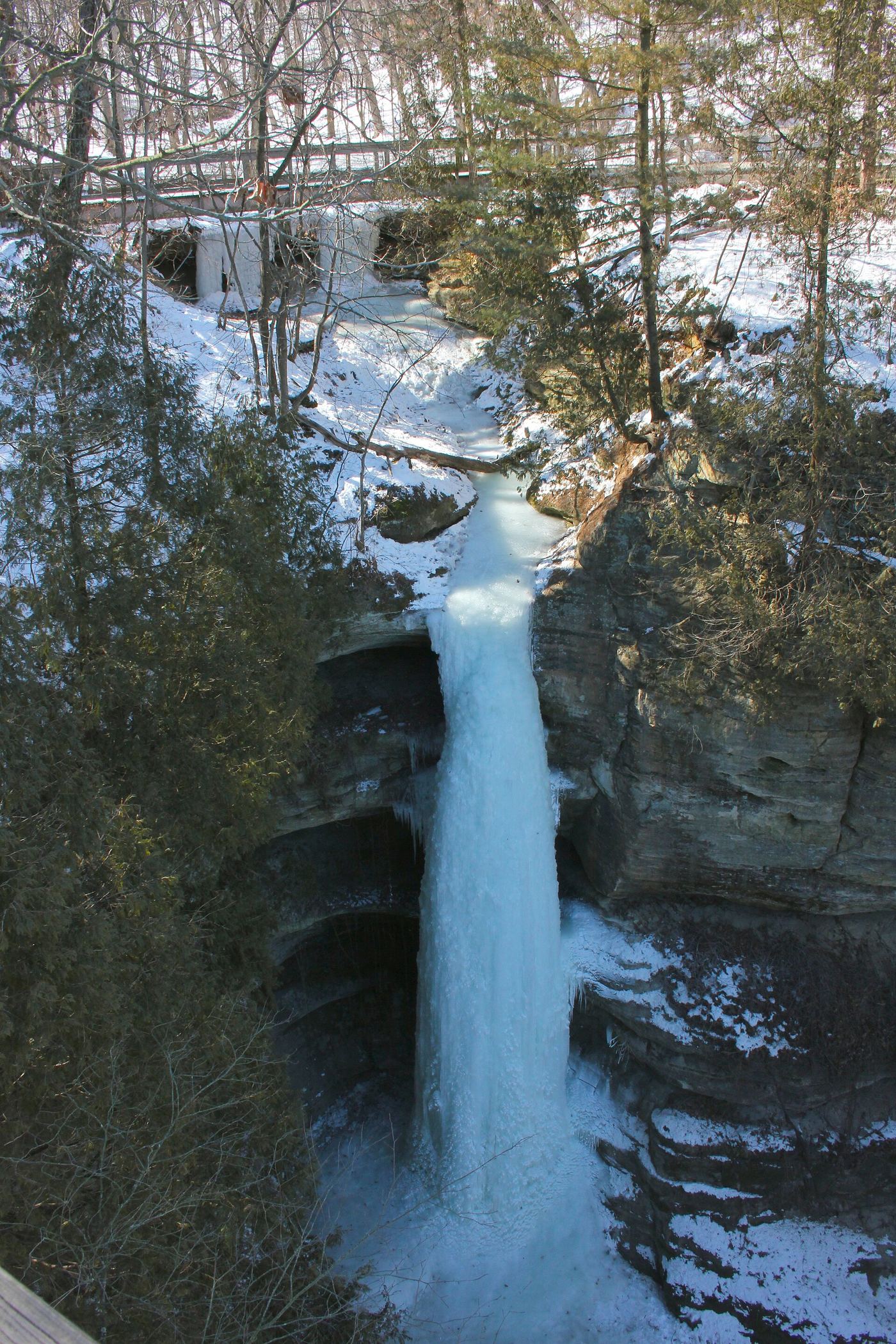
Wildcat Canyon in Starved Rock State Park has a waterfall during snowmelt and after rain. From the visitor center a marked trail runs via French Canyon to overlooks on either side of Wildcat Canyon, and a flight of stairs leads down to the canyon floor. The trail from the lodge is easier.
Partial guide: official loop to Beaver Falls; exact location match probable
Illinois
2.3-mile loop
The Nature Institute says the Beaver Trail loop goes directly to Beaver Falls, the largest waterfall on the property, and back to the parking lot. The official trail map shows Beaver Falls on the Beaver Trail at the far side of the Olin Nature Preserve from the parking lot. The trail map's north arrow could not be matched to this listing's location, so the exact match is probable rather than confirmed.
Location map; no photo available.
Original map pin differs from trail society location
Illinois
Walking distance not confirmed
The trail society places Boulder Falls on Sentry Bluff Trail and its map shows the connection from main parking. Its waterfall coordinates differ from the original directory pin by roughly 600 metres; use the named trail map rather than navigating to that pin.
Location map; no photo available.
Partial guide: roadside parking and unmarked footpath not confirmed by the district
Illinois
Short walk; distance not published
Canyon Creek Falls, about 8 feet high on East Branch Canyon Creek, is the natural waterfall in Waterfall Glen Forest Preserve, named in 2014. A Mountain Project climbing page says to park on the gravel before a gate, walk around the gate, take the trail between the railroad tracks and the gate to the creek, then turn left and go downstream to the waterfall.
Location map; no photo available.
State park canyon loop with stairs; hunting-season closure dates
Illinois
Part of a 2.7 to 2.9 mile canyon loop
Cascade Falls is where the Matthiessen canyon drops 45 feet between the Upper and Lower Dells. From the Dells Area parking lot, go down the steps beside the log fort replica and follow the Dells loop. The loop passes the falls on the way toward the Lower Dells; onX describes a viewpoint where the falls are framed by the middle bridge.
Location map; no photo available.
Partial guide: waterfall on official map; connector distance and exact point match unconfirmed
Illinois
Owl Trail about 0.75 mile; full distance from parking not published
The official Nature Institute trail map marks Creek Trek Waterfall in the Mississippi Sanctuary, on the Owl Trail loop, across S. Levis Lane from the main parking lot. The Owl Trail gives creek access through forest. The trail map's north arrow could not be matched to this listing's location, so the exact match is probable rather than confirmed.
Location map; no photo available.
Partial guide: which park waterfall this is has not been confirmed
Illinois
About 1 mile return
Dixon Springs State Park near Golconda has rain-fed waterfalls among large boulders. The Outbound directs visitors to park at the swimming pool, walk to the front where the building is, and turn right onto the Ghost Dance Canyon trail. The falls spill between stacked boulders in the creek bed. This listing may instead be a partly man-made waterfall the Outbound mentions along the park drive.
Location map; no photo available.
Paid garden entry documented; exact waterfall not confirmed
Illinois
Garden paths; distance not published
Anderson Japanese Gardens is at 318 Spring Creek Road, Rockford. Buy admission at the visitor center and follow the garden paths, which pass streams, waterfalls and koi ponds. Which waterfall is the East Waterfall (O Taki) was not confirmed in the reviewed sources; ask garden staff.
Location map; no photo available.
Partial guide: the exact falls on the loop is not confirmed
Illinois
2.2-mile loop
Piney Creek Ravine Nature Preserve near Chester protects sandstone canyons and the largest body of prehistoric rock art in Illinois. A 2.2-mile loop trail from the parking lot features a waterfall. The feature called Falls-Shelter Bluff is not named in the reviewed sources.
Location map; no photo available.
Route and parking documented; confirm current conditions.
Illinois
Distance unknown
A short approach reaches the top of Jackson Falls in Shawnee National Forest.
Location map; no photo available.
Roadside view from the spillway parking area; rocky path beside cascades
Illinois
Seen from the parking area; short scramble beside the cascades
The Kinkaid Lake spillway below Crisenberry Dam drops over several sandstone ledges into a pool. Take Highway 149 west of Murphysboro and turn north on Spillway Road to its end at the dam gate. A 2026 travel article says the falls are visible from the parking lot, and that an unmarked but easy-to-follow rocky path runs beside the cascades. A student newspaper column says the entrance can require wading through water beside the lower pool, deep after heavy rain.
Location map; no photo available.
Official trailhead and open trail; distance not published
Illinois
Distance from the lot not published; mileage signs are posted at trailheads
Starved Rock State Park is managed by the Illinois Department of Natural Resources. The St. Louis Canyon trailhead is at the St. Louis Canyon parking lot off Route 178, across from Grand Bear Lodge just south of the park's west entrance. A second start is from the west side of Starved Rock Lodge. IDNR's October 2026 trail-project update says the trail to St. Louis Canyon is open; several eastern canyons are closed for construction.
Location map; no photo available.