Pāpalaua Falls
Maui County, Hawaii
Your visit at a glance
- Waterfall height
- Not recorded
- Location
- Maui County, Hawaii
- Ground elevation
- About 1,991 ft above sea level
- Nearby mapped access
- No nearby parking or trailhead recorded
A nearby mapped parking area or trailhead may not connect to this waterfall. Confirm the route and public access before travelling.
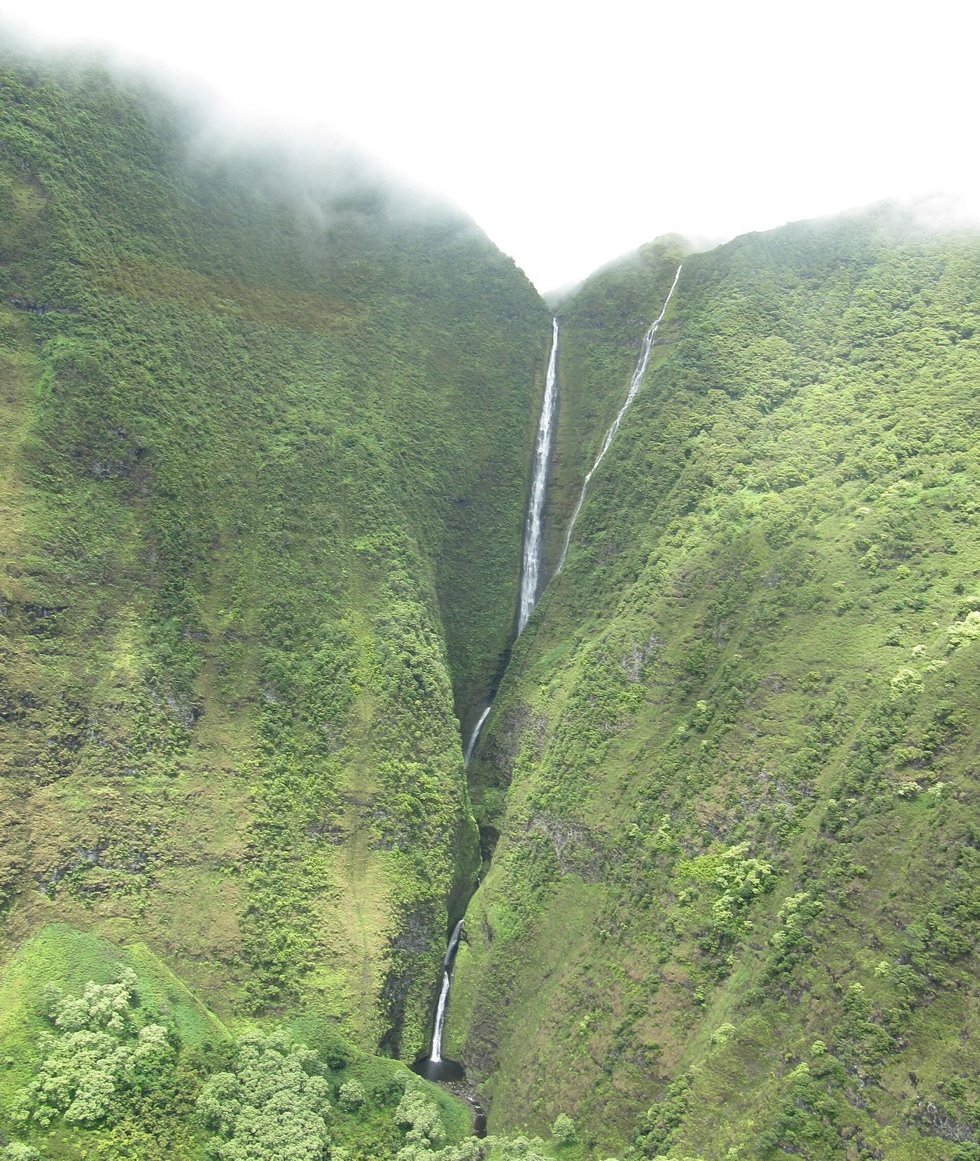
Pāpalaua Falls is mapped in Maui County, Hawaii, 5 miles northwest of Waialua. This entry shows its location and nearby mapped places; a visitor route has not been confirmed.
About this location
Land & access
No named land ownership record was found at this location. This does not establish whether the land is public or private.
Sources for these details
Nearby streams and paths: OpenStreetMap. Land names: USGS PAD-US ownership records, with planning boundaries used only where ownership has no usable name. Ground elevation: USGS 3D Elevation Program.
Map records do not verify a walking route or current access conditions.
Before you make the trip
No nearby trailhead or parking area is recorded. Check the land manager’s visitor information for a permitted route.
Trail length, parking rules and current conditions have not been confirmed for this entry.
More waterfalls nearby
Within 40 straight-line miles. Road and trail distances will differ.
- Kahiwa FallsMaui County, HI0.7 miN
- Hīpuapua FallsMaui County, HI2.4 miE
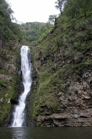 Moa‘ulaPartial guide: private land; guided hike only; current guide availability unverifiedMaui County, HI2.5 miE
- Wailele FallsMaui County, HI2.8 miW
- Pu‘uka‘ōkū FallsMaui County, HI3.0 miW
- ‘Olo‘upena FallsMaui County, HI3.3 miW
- Hāloku FallsMaui County, HI3.5 miW
- Haha FallsMaui County, HI6.7 miSW
- Mo‘oloa FallsMaui County, HI6.7 miSW